Coal Mining and Groundwater
The Coal Land Resources Program is the primary source of coal-related scientific data for the State of Montana. The program locates and quantifies coal resources (read more about the coal program) and combines geologic and hydrogeologic research, data collection, data interpretation, and dissemination of coal-related information. The results of the MBMG’s long-term monitoring and site-specific studies provide information for landowners, regulators, industry representatives, academic research, and individuals or organizations involved in coal development decisions and issues.
Coalbeds are the most laterally continuous aquifers, carrying recharge water to springs, wells, and ultimately baseflow in streams. As an energy source, Montana coal is used locally, nationally, and internationally. As a water source, coalbeds are used throughout eastern Montana as a reliable source of domestic and stock water.
Since 1968, the MBMG has maintained a network of dedicated monitoring wells near Decker and Colstrip in the Powder River Basin. The well network,
information, and methods developed for the coal mine groundwater-monitoring program were translated over to coalbed methane (CBM) hydrologic
monitoring when CBM production began in Montana in 1999.
Related Publications and Data
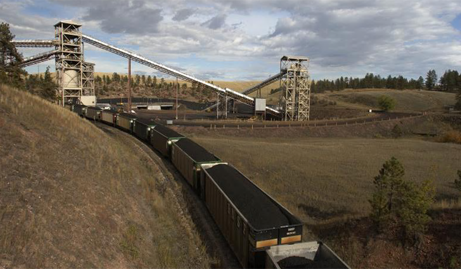
A coal train is filled at an open-cut coal mine.
Photo by John Wheaton
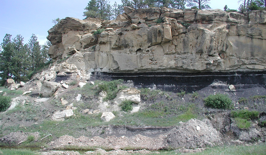
Coal outcrop near Ashland, Montana.
Photo by John Wheaton
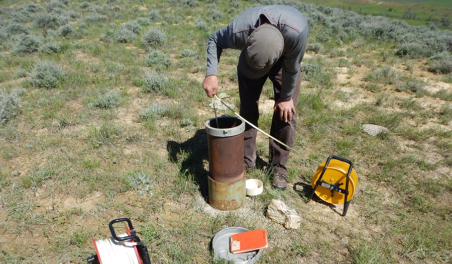
Simon Bierbach measures the water level in a coal mine spoils aquifer.
Photo by Clay Schwartz
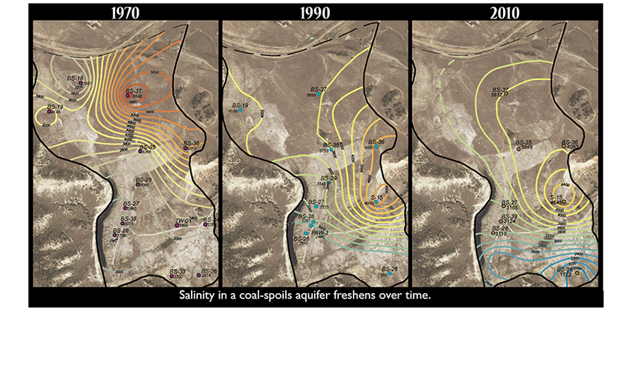
Groundwater salinity in a coal mine spoils aquifer freshens with time.