Earth MRI at MBMG
MBMG economic geologists participate in the U.S. Geological Survey’s Earth Mapping Resources Initiative (Earth MRI). The Earth MRI program aims to improve our understanding of critical minerals resources in the United States, and to decrease the U.S.'s reliance on imported minerals that are essential to our security and economy. Earth MRI provides funding for new geologic mapping, geochemical sampling, mine waste investigations, and airborne geophysical and topographic (LIDAR) surveys.
The MBMG has multiple completed and ongoing Earth MRI geologic mapping projects, including the Elkhorn 7.5’ quadrangle (completed 2022, available soon), the Radersburg and Giant Hill 7.5’ quadrangles (2023–2026), and the Alta and Horse Creek Pass 7.5’ quadrangles (2023–2026). Each mapping project also generates new geochemical data, which are available online. The Earth MRI program also investigates historic tailings and other mine waste materials, and in Montana we are evaluating mine waste as a potential critical minerals resource. Airborne geophysical surveys are ongoing, with recently acquired magnetic and radiometric data for the Boulder Batholith available online. The USGS also provides an interactive map of Earth MRI projects across the country.
Email Kyle Eastman for more information about MBMG’s Earth MRI Program.
The USGS provides an index of Earth MRI projects across the country, and provides an overall description of the Earth Mapping Resources Initiative.
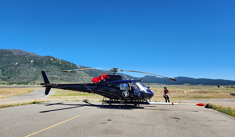
Helicopter used for USGS Earth Mapping Resources Initiative geophysical surveys, equipped with magnetic and radiometric sensors.
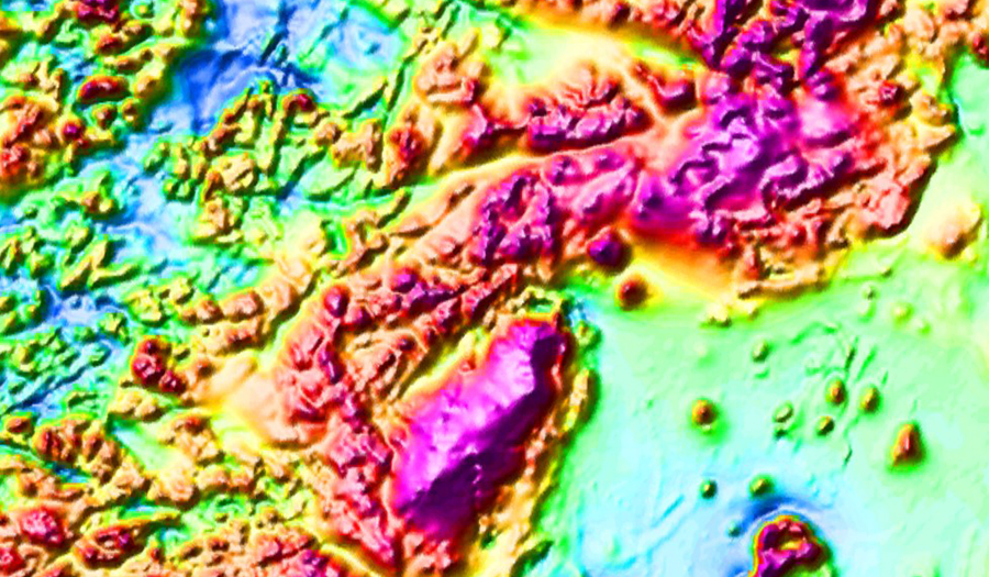
New aeromagnetic data, eastern margin of the Boulder Batholith.
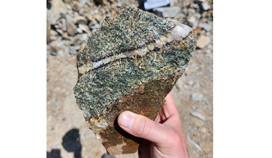
Quartz-magnetite vein in the Diamond Hill porphyritic stock, Park District.
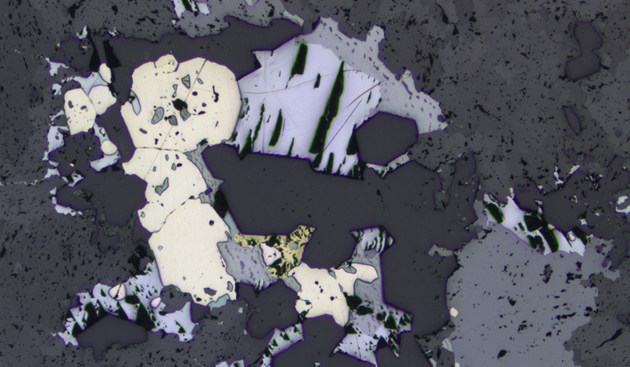
Reflected light ore microscopy image, pyrite, sphalerite, galena, chalcopyrite; FOV = 3mm.