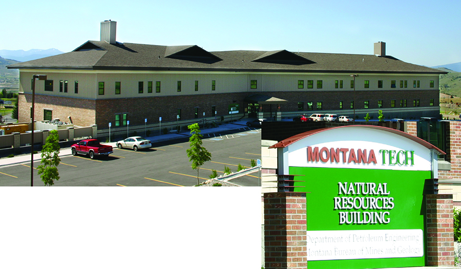
About MBMG Programs
GEOLOGY:
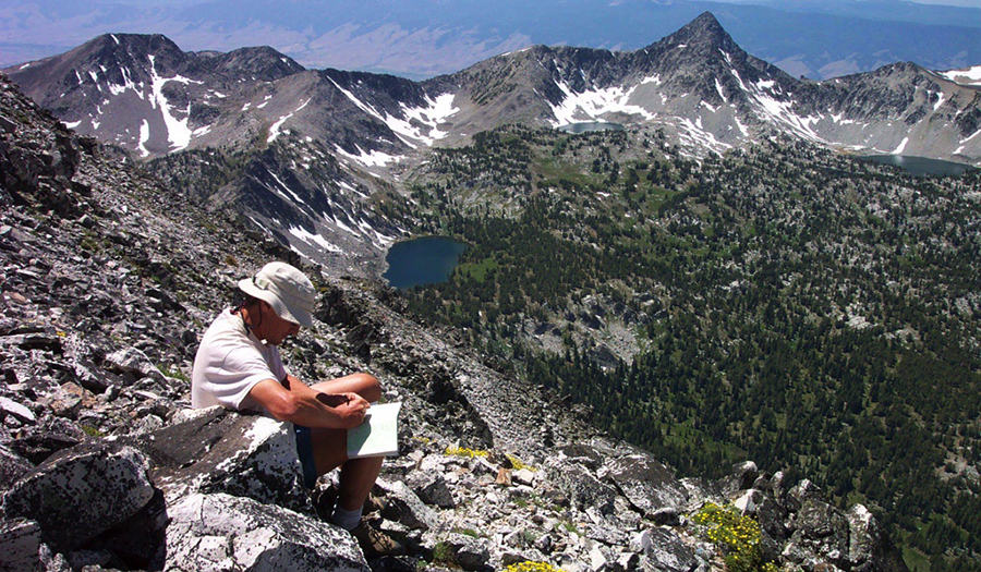
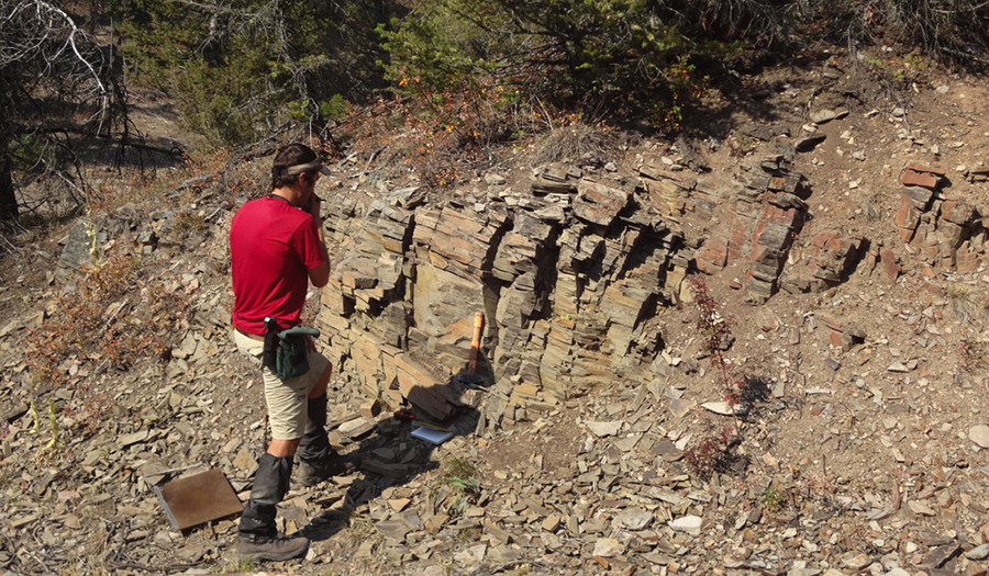
MBMG geoscientists collect, interpret, and distribute geologic data used to manage Montana’s water, land, mineral, and energy resources, and to assess geologic hazards.
Our geologists have detailed knowledge of Montana’s stratigraphy, structure, and geologic history, and expertise in tectonics, geochronology, earthquakes, landslides, fossil fuels,
economic geology, mineralogy, environmental assessment, and science education.
An inventory and characterization of abandoned and inactive mines in Montana, in cooperation with the USFS and BLM.
Also gathers new information on the economic geology and hydrogeology associated with these abandoned and inactive mines.
Geologic mapping in Montana is supported by the U.S. Geological Survey’s STATEMAP Program, a component of the National Cooperative Geologic Mapping Program.
All published STATEMAP products are available for free download from the MBMG website and also from the USGS National Geologic Map Database.
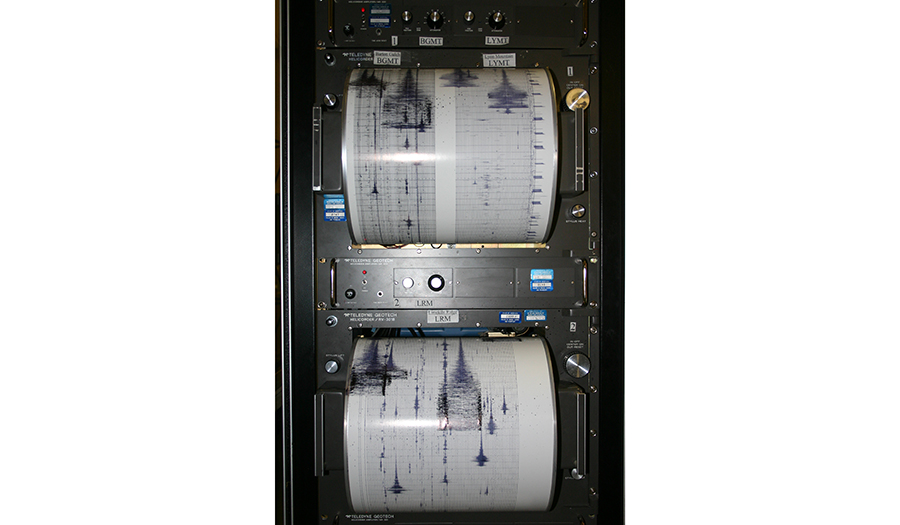
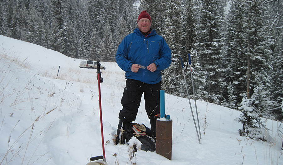
The MBMG Earthquake Studies Office operates the Montana Regional Seismic Network,
a network of 42 permanent seismic stations located throughout western Montana. Our mission is to monitor, analyze, and report on Montana earthquakes and make these data
available for seismic hazard research and to the public. MBMG geologists also use new fault mapping, paleoseismology, radiometric dating techniques, and remote sensing techniques using Light Detection
and Ranging (LiDAR) to identify new active faults and update Montana’s Quaternary fault database used for the National Seismic Hazards Maps. The Landslide Hazards Program aims to identify, map,
and categorize landslide areas across the State of Montana to better understand spatial distribution and causes of ground failure to help mitigate against landslide hazards.
MBMG’s Economic Geology program supports metallic mining and conducts studies to
generate interest in future exploration for new mineral deposits. MBMG geologists conduct detailed studies on historic mining districts that update understanding of
mineral resource genesis and generate new isotope geochemistry, fluid inclusion, trace element geochemistry, and mineralogical data useful for future exploration programs. MBMG geologists also participate in the
Earth Mapping Resources Initiative (Earth MRI), sponsored by the USGS. Earth MRI uses state-of-the-art geologic mapping and airborne geophysical and topographic (LiDAR) surveys to map critical mineral resources in the U.S.
MBMG geologists conduct scientific investigations of the State’s energy resources, including coal, oil and gas, geothermal resources, and uranium, providing data and
information to promote and support the responsible development and utilization of these resources. We provide knowledge about our energy resources to a variety of audiences, from those making energy and land-use policy decisions to the general public.
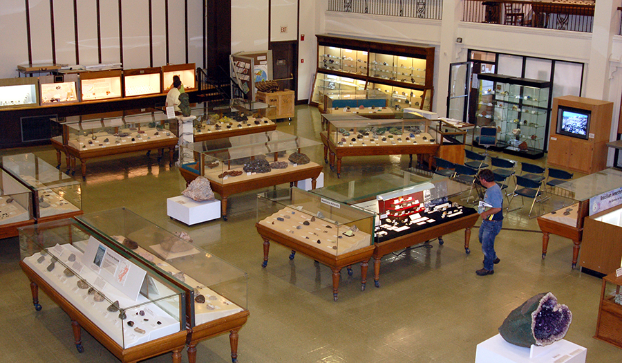
The MBMG’s Mining Archives repository includes thousands of mining-related maps and files for many Montana mining properties. The information ranges from engineering, geologic, and historical reports
to photographs, correspondence, and some production information. With funding support from the Montana State Legislature, the MBMG began digitizing documents and maps in the collection to preserve them electronically
and make them accessible online to the public.
WATER & ENVIRONMENT:
GWAP oversees the collection, interpretation, and publication of essential groundwater information. GWAP includes three complementary efforts to improve the understanding of Montana’s groundwater resources:
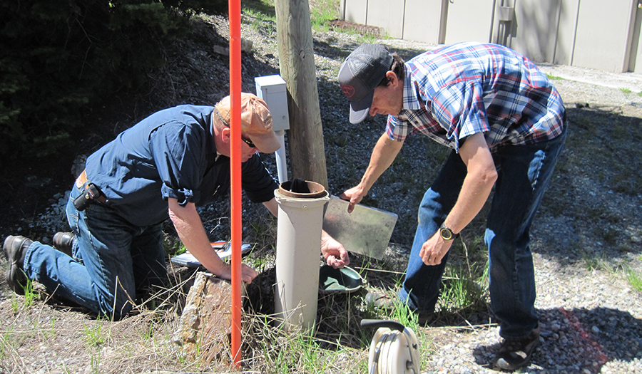
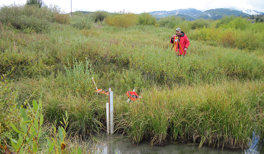
- The Groundwater Monitoring Program systematically tracks long-term water-level and water-quality changes in Montana’s major aquifers.
- The Ground Water Characterization Program. Working through specific areas prioritized by the Ground Water Assessment Steering Committee, the MBMG has completed fieldwork in nine regions encompassing 24 counties and produced more than 70 maps and assessments.
- The Groundwater Information Center (GWIC) database is the repository for the State’s groundwater information—water-well logs and all MBMG groundwater data from past and current projects are stored in the database.
GWIP encompasses site-specific studies of groundwater resource concerns that support statewide and local decisions regarding water. The Montana Legislature established GWIP in 2009, with a design that allows local
communities or other stakeholders to nominate projects for study. GWIP projects address both groundwater quality and quantity, encompassing questions related to effects of existing and proposed groundwater development on
streamflow, changes in land use, and evaluating effects of drought on groundwater and surface-water supplies.
The Environmental Program undertakes site-specific investigations with an emphasis on water quality, water level, and discharge from abandoned mines.
Studies primarily focus on environmental impacts related to historic mining and milling operations. Some of these projects extend in various forms over decades, with a notable example being
MBMG monitoring of the Berkeley Pit and underground mines in Butte and abandoned coal mines in Belt. Other topical studies have related to the presence of organic compounds in groundwater,
reclamation of dryland salinity problems throughout central and south-central MT, and elevated concentrations of antimony and arsenic in drinking water supplies.
The Energy Program, housed in our Billings office, includes both resource mapping of coal and hydrocarbon reserves as well as groundwater studies and monitoring around coal, gas, and oil development.
The MBMG has been responsible for measuring and interpreting groundwater responses to coal mining since the late 1960s and includes one of the nation’s longest continuously measured monitoring well networks.
This work was extended into the coalbed methane fields (CBM; a form of natural gas in coalbeds) when CBM production was introduced to southeastern Montana in 1999. The MBMG has developed good working relationships with
landowners, industry, and regulators near coal development, and the science provided by the MBMG has eased concerns about water loss and contamination.
Many other groundwater studies conducted by the MBMG address various aspects of Montana’s environment, including investigations of water quantity issues related to agricultural irrigation,
identifying groundwater resources and availability, and attending to specific concerns brought to the MBMG by Montana’s communities.
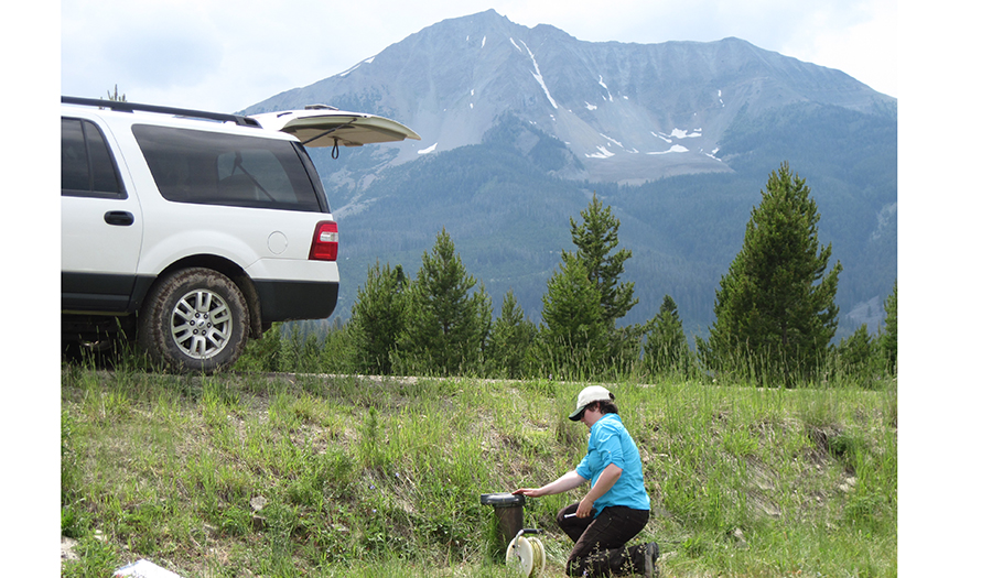
SWAMP is a joint program initiated by the Department of Natural Resources and Conservation (DNRC) and the Montana Bureau of Mines and Geology to collect real-time stream-flow data and conduct watershed assessments
to aid decision making and policy development in Montana. While data collection, compilation, and dissemination are critical in the short term, these data provide important information to support watershed studies aimed at
constructing predictive models of surface-water and groundwater resources subject to development and climate change.
Watershed studies conducted under this program will provide opportunities for applied research and training for students of the Montana University System.
RESOURCES:
The Data Center on the MBMG website links to our many databases of useful and critical information on groundwater, mines, coal, geology, earthquakes, publications, historic maps, and more.
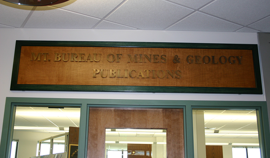
Our catalog contains all MBMG publications as well as U.S. Geological Survey publications related to Montana's geology, hydrogeology, etc.