IMAGE
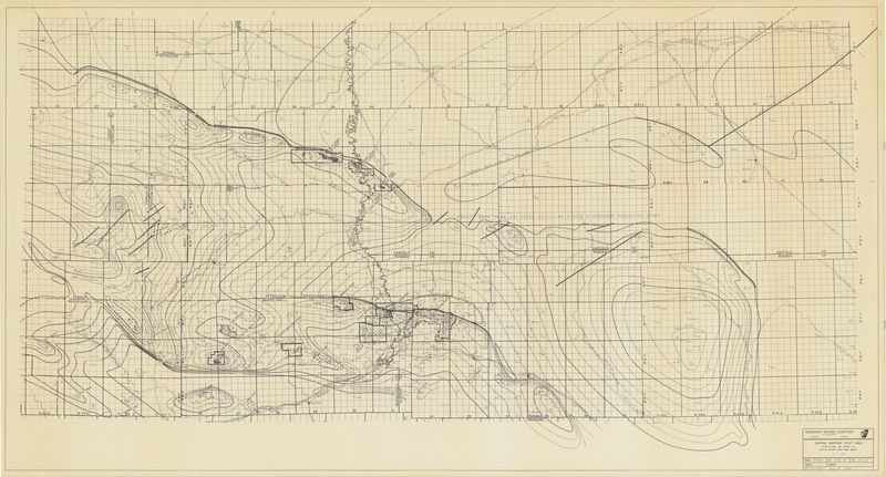
Central Montana Uplift Area Structure on Piper LS Item Info
- Title:
- Central Montana Uplift Area Structure on Piper LS
- Creator:
- W.F. Brinker
- Date Created:
- 3/26/1974
- Description:
- Top of Amsden where Piper absent
- Subjects:
- Gas Oil Geologic Map Structure Contour Map Well Location Map
- Location:
- Rosebud County; Treasure County; Garfield County; Rosebud County; Cat Creek; Mosby Dome; West Dome; East Dome; Fergus County; Petroleum County
- Source:
- MBMG Archives
- Type:
- Image;StillImage
- Format:
- image/jpeg
Source
- Preferred Citation:
- "Central Montana Uplift Area Structure on Piper LS", Montana Geological Society Maps, Montana Bureau of Mines and Geology
- Reference Link:
- /%5CInformation%5CCollections%5CMontana-Geological-Society/items/mgs038.html
Rights
- Standardized Rights:
- https://rightsstatements.org/page/InC-EDU/1.0/?language=en

