COMPOUND OBJECT (6 Items)
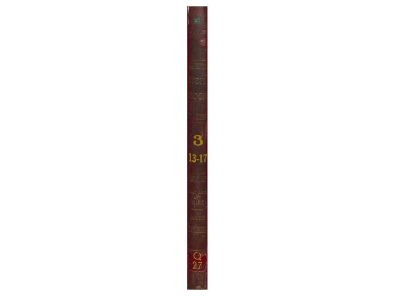
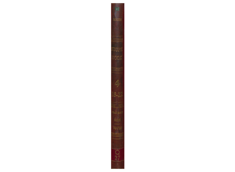
Q27 Gray Rock - South Item Info

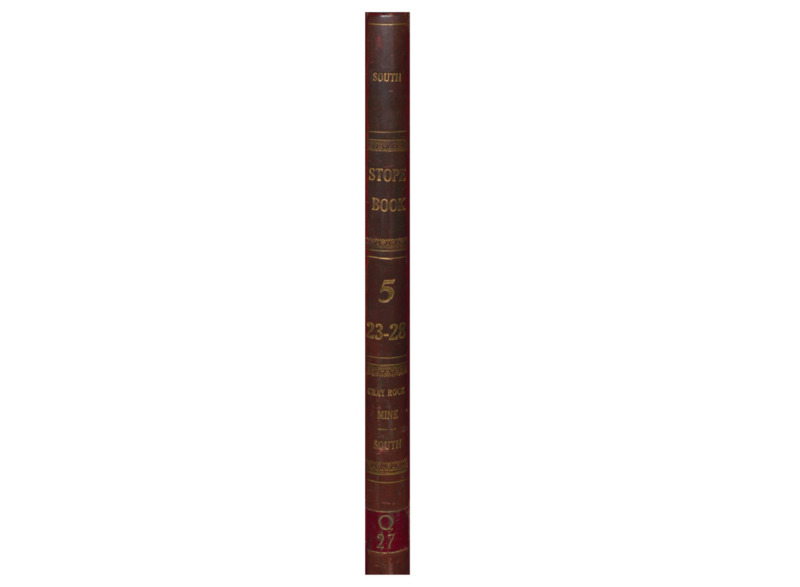

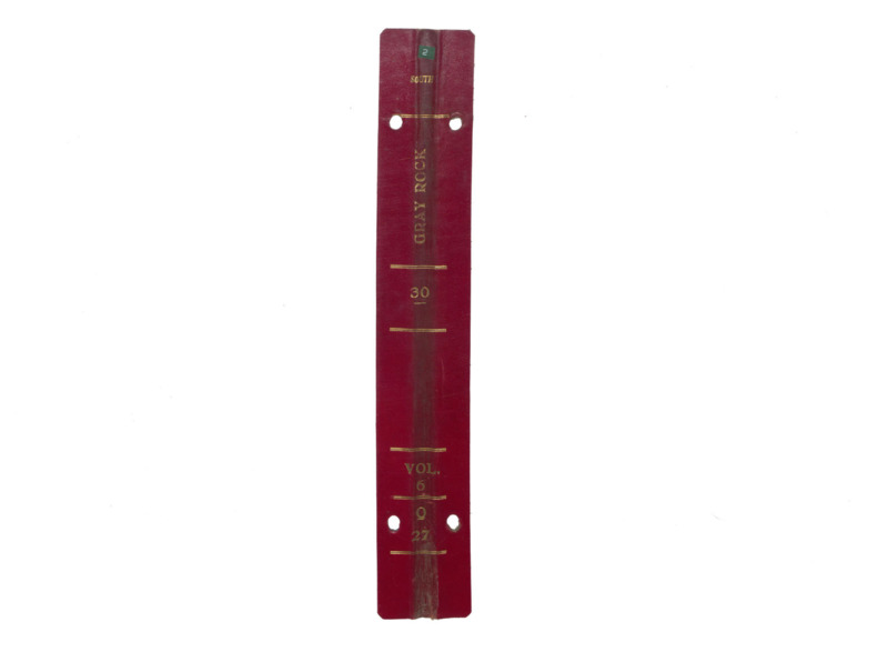
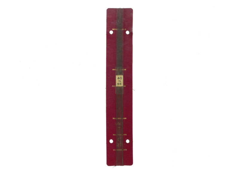
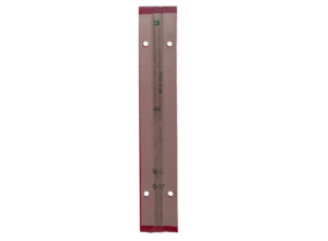

- Title:
- Q27 Gray Rock - South
- Mine(s):
- Mountain Consolidated Gray Rock Buffalo East Gray Rock Lexington Diamond
- Book Number:
- Q27
- Volume:
- 3 through 8
- Latitude:
- 46.024511
- Longitude:
- -112.532457
- Type:
- Image;StillImage
- Format:
- image/jpeg
Attribution
- Citation:
- "Q27 Gray Rock - South", Butte Stope Books, Montana Bureau of Mines and Geology (MBMG), https://mbmg.mtech.edu/Information/Collections/Butte-Stope-Books/items/bsb215.html
Rights
- Rights:
- In Copyright - Educational Use Permitted.
- Standardized Rights:
- http://rightsstatements.org/vocab/InC-EDU/1.0/