Aquifer Characterization
The Ground Water Characterization Program (GWCP) maps and assesses aquifers within specific areas as prioritized by the Ground Water Assessment Steering Committee.
To date, more than 8,000 wells have been visited and about 3,000 groundwater samples have been collected. These data have been used to compile 64 maps and reports that describe aquifer productivity, groundwater-flow systems, and groundwater quality.
Related Content
Groundwater MonitoringGroundwater Information Center
Web Mapping Application
Contact Information
Program InformationAlan English, Program Manager
(406) 496-4765 | Email
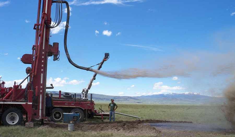
Drilling monitoring wells.
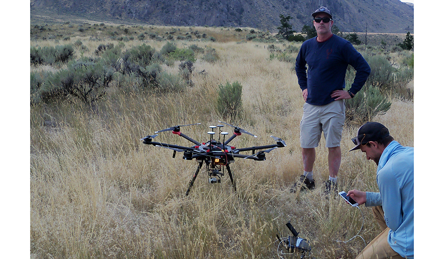
Drone work in the Paradise Valley.
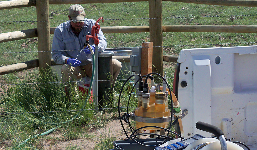
Groundwater sampling in the Shields Valley.
Groundwater survey
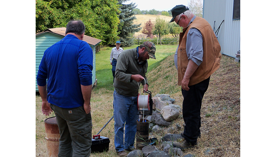
Measuring a domestic well near Eureka, Montana.
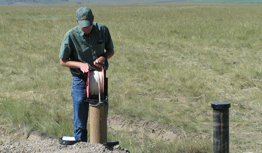
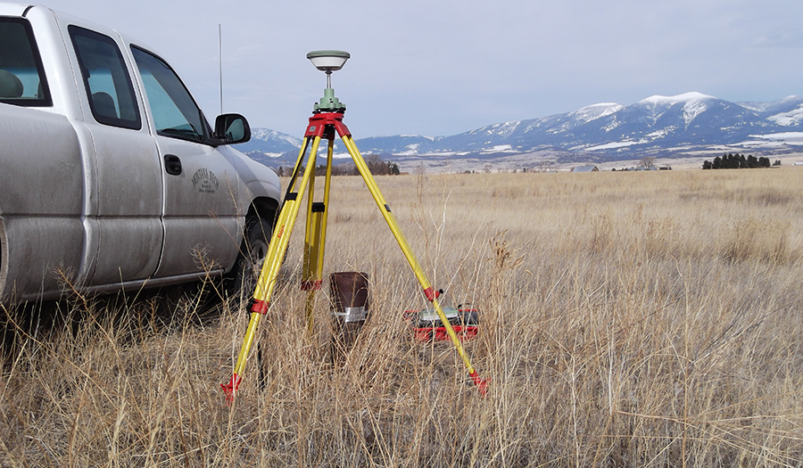
Measuring groundwater levels near Ennis, Montana.