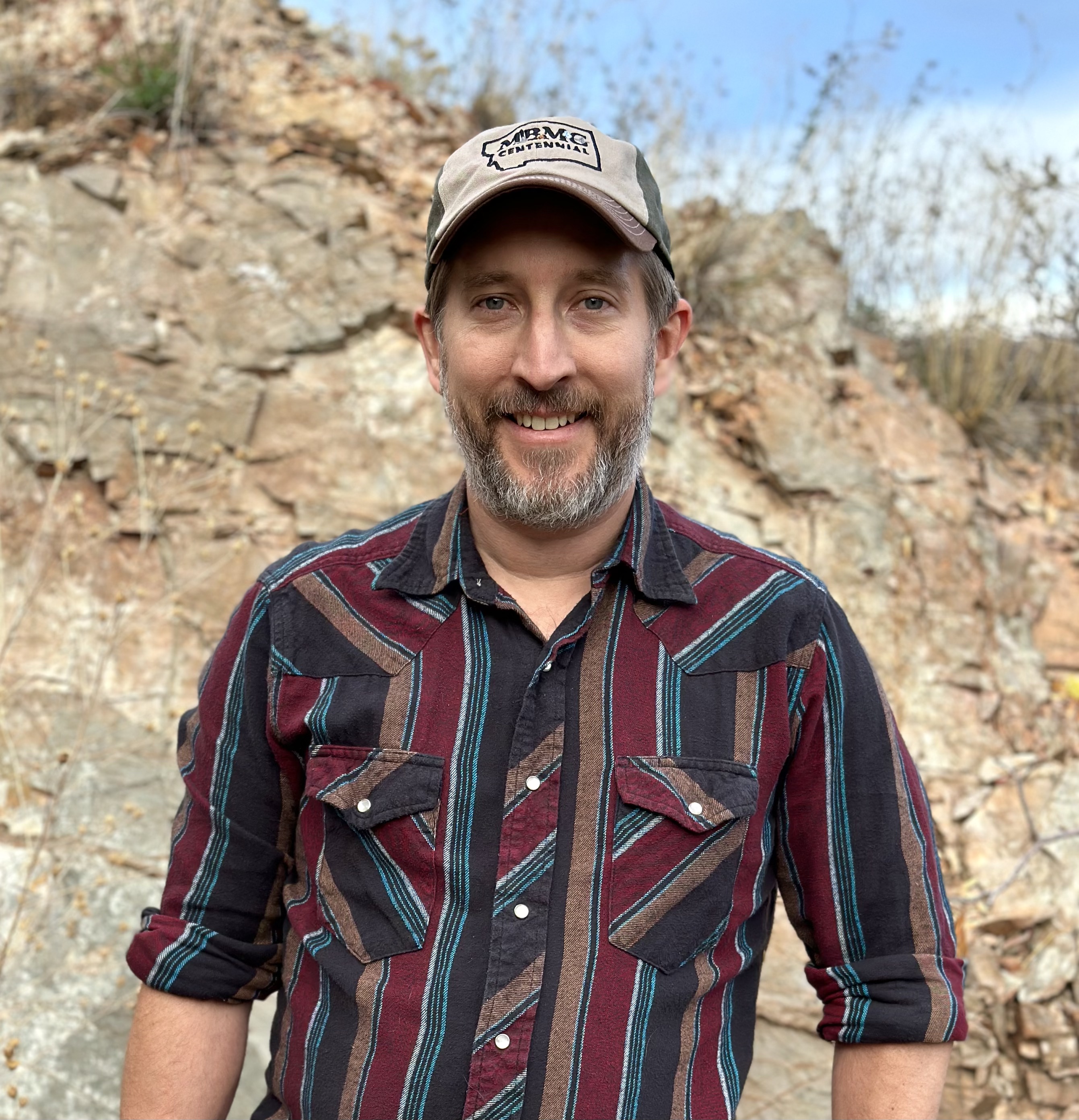

Hydrogeologist—Associate Professor
Phone: (406) 496-4297
Email: kzeiler@mtech.edu
MBMG—Butte
1300 West Park Street
Butte, MT 59701
Kurt is a hydrogeologist with MBMG's Ground Water Investigation Program (GWIP). His research interests include quantitative hydrogeology, especially groundwater modeling, to address potential groundwater and surface-water quantity and quality impacts from municipal, industrial, and agricultural activities. He uses GIS and programming to facilitate processing model input and output data. Kurt was previously a consultant as well as a GIS Specialist for the Wisconsin Geological and Natural History Survey early in his career.
| Date | Citation |
|---|---|
| 11/8/2023 | Zeiler, K., and Abdo, G., Groundwater in Southern Broadwater County and Overview of the Ground Water Investigation Program (GWIP): Presented at the Community Technical Assistance Program (CTAP ) Meeting for Southern Broadwater County, November 8, 2023. |
| 6/2/2019 | M. Porter, K. Zeiler. June 2-5, 2019, Modeling Post-Mining Pit Lake Filling using a FloPy Framework: Presented at the MODFLOW and More 2019: Groundwater Modeling and Beyond Conference, Golden, CO. |
| 5/21/2017 | K. Zeiler, A. Moore, M. Halstead, Z. Wengrovius, J. Weaver, M. Lindburg, P. Dupre, May 21-24, 2017, Updates and Improvements to Colorado's South Platte Decision Support System Alluvial Groundwater Model: Presented at the MODFLOW and More 2017: Modeling for Sustainability and Adaptation Conference, Golden, CO. |
| 5/21/2017 | K. Zeiler, A. Moore, M. Halstead, Z. Wengrovius, J. Weaver, M. Lindburg, P. Dupre, May 21-24, 2017, Use of a Data-Centered Approach in Updating Colorado's South Platte Decision Support System Alluvial Groundwater Model: Presented at the MODFLOW and More 2017: Modeling for Sustainability and Adaptation Conference, Golden, CO. |
| 5/21/2017 | K. Zeiler, J. Weaver, A. Moore, M. Halstead, May 21-24, 2017, Application of the Partition Stress Boundary Capability with MODFLOW-NWT in a Large-Scale Regional Groundwater Flow Model: Presented at the MODFLOW and More 2017: Modeling for Sustainability and Adaptation Conference, Golden, CO. |
| 1/27/2017 | A. Moore, M. Halstead, K. Zeiler, Z. Wengrovius, January 27, 2017, Updates and Enhancements to the SPDSS Alluvial Groundwater Model: Presented at the Colorado Water Congress, Denver, CO. |
| 4/25/2016 | K.K. Zeiler, R. J. Bitner, M. Krausnick, J.D. Weaver, and N. Foged, April 25-27, 2016. Sub-Regional Groundwater Flow Modeling of the Upper Big Blue River Basin Using the MODFLOW-OWHM Farm Process: Presented at the National Groundwater Association 2016 Groundwater Summit, Denver, CO. |
| 6/1/2015 | K.K. Zeiler, R. J. Bitner, M. Krausnick, J.D. Weaver, and N. Foged, June 1-3, 2015, Sub-Regional Groundwater Flow Modeling of the Upper Big Blue Basin Using the MODFLOW-2005 Farm Process: Presented at the MODFLOW and More 2015: Modeling a Complex World Conference, Golden, CO. |
| 5/6/2012 | R. Suribhatla, J. Weaver, M. Bloes, K. Zeiler, May 6-10, 2012, Salt-Freshwater Dynamics in a Subterranean Estuary--Simulating the Impact of Tidal Fluctuations and Engineering controls on Contaminant Mass Flux: Presented at the National Ground Water Association Ground Water Summit, Garden Grove, CA. |
| 6/5/2011 | K. Zeiler, June 5-8, 2011, Advancements in a Transient 3-D Particle Tracking Tool for Finite-Element Flow Fields: Poster presented at the MODFLOW and More 2011: Integrated Hydrologic Modeling Conference, Golden, CO. |
| 6/18/2007 | K. Zeiler, June 18-22, 2007, Automated Groundwater Hydrograph Mapping to Locate Geologic Faults: Presented at the 2007 ESRI International Users Conference, San Diego, CA. |
| 9/16/2003 | D. Feinstein, D. Saad, D. Hart, and K. Zeiler, September 16-19, 2003, Reconciling Recharge and Discharge in a Regional Flow Model: Presented at the MODFLOW and More 2003: Understanding through Modeling Conference, Golden, CO. |
| Year | Citation |
|---|---|
| 2019 | Aliyari, F., Bailey, R.T., Tasdighi, A., Dozier, A., Arabi, M., and Zeiler, K., 2019, Coupled SWAT-MODFLOW model for large-scale mixed agro-urban river basins: Environmental Modelling & Software, v. 115, p. 200-210. |
| 2005 | Gotkowitz, M.B., Zeiler, K.K., Dunning, C.P., Thomas, J., and Lin, Y.F., 2005, Hydrogeology and Simulation of Groundwater Flow in Sauk County, Wisconsin: Wisconsin Geological and Natural History Survey Bulletin 102, 43 p. |
| 2002 | Gotkowitz, M.B., and Zeiler, K.K., 2002, Depth to bedrock map, Sauk County, Wisconsin: Wisconsin Geological and Natural History Survey Miscellaneous Map 54, 1 plate. |
| 2002 | Gotkowitz, M.B., and Zeiler, K.K., 2002, Water-table elevation map, Sauk County, Wisconsin: Wisconsin: Geological and Natural History Survey Miscellaneous Map 55, 1 plate. |
| 2002 | Gotkowitz, M.B., Zeiler, K.K., Dunning, C.P., and Thomas, J., 2002, Delineation of zones of contribution for municipal wells in Sauk County, Wisconsin: Wisconsin Geological and Natural History Survey Open-File Report 2002-05, 74 p., 2 plates. |
| 2002 | Zeiler, K.K., 2002, Shaded Relief Map of Sauk County, Wisconsin: Wisconsin Geological and Natural History Survey Open-File Report 2002-04, 1 plate. |