
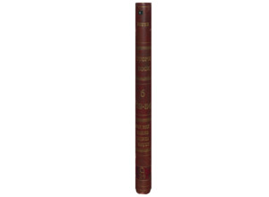
COMPOUND OBJECT (6 Items)
Gray Rock Item Info
Q29 Vol. 2 Gray...

Gray Rock
-
Item 1 of 6

- Title:
- Q29 Vol. 2 Gray Rock
- Date Created:
- 1897
- Includes Sill(s):
- 100, 200, 300, 400
- Mine Name(s):
- East Gray Rock Diamond Old Bell Speculator Wake Up Jim Bell Green Mountain Berkeley Pit West Gray Rock Alice Lexington
- Volume:
- 2
- Sill Range:
- 100 - 400
- Township:
- 03N
- Range:
- 07W
- Section:
- 7
- Latitude:
- 46.024471
- Longitude:
- -112.52402
- Source:
- New Butte Mining Company
- Type:
- Image;StillImage
- Format:
- application/pdf
Source
- Preferred Citation:
- "Q29 Vol. 2 Gray Rock", Butte Stope Books, Montana Bureau of Mines and Geology
- Reference Link:
- /Information/Collections/Butte-Stope-Books/items/bsb158.html#bsb159
Rights
- Rights:
- In Copyright - Educational Use Permitted.
- Standardized Rights:
- http://rightsstatements.org/vocab/InC-EDU/1.0/
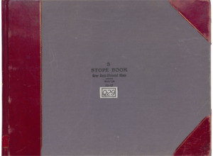
Q29 Vol. 3 Gray...
Gray Rock
-
Item 2 of 6
- Title:
- Q29 Vol. 3 Gray Rock/Diamond
- Includes Sill(s):
- 1300, 1400, 1500, 1600, 1700
- Mine Name(s):
- Gray Rock Diamond West Gray Rock East Gray Rock Green Mountain High Ore
- Volume:
- 3
- Sill Range:
- 1300 - 1700
- Township:
- 03N
- Range:
- 07W
- Section:
- 7
- Latitude:
- 46.024519
- Longitude:
- -112.52399
- Source:
- Butte Silver Bow Public Archives
- Type:
- Image;StillImage
- Format:
- application/pdf
Source
- Preferred Citation:
- "Q29 Vol. 3 Gray Rock/Diamond", Butte Stope Books, Montana Bureau of Mines and Geology
- Reference Link:
- /Information/Collections/Butte-Stope-Books/items/bsb158.html#bsb160
Rights
- Rights:
- In Copyright - Educational Use Permitted.
- Standardized Rights:
- http://rightsstatements.org/vocab/InC-EDU/1.0/
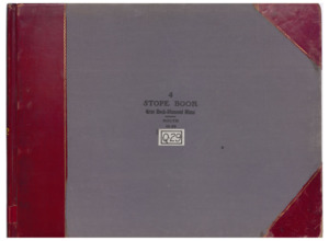
Q29 Vol. 4 Gray...
Gray Rock
-
Item 3 of 6

- Title:
- Q29 Vol. 4 Gray Rock/Diamond South
- Includes Sill(s):
- 1800, 1900, 2000, 2100, 2200
- Mine Name(s):
- Gray Rock Diamond West Gray Rock Green Mountain Mountain Consolidated
- Volume:
- 4
- Sill Range:
- 1800 - 2200
- Township:
- 03N
- Range:
- 07W
- Section:
- 7
- Latitude:
- 46.024519
- Longitude:
- -112.52399
- Source:
- Butte Silver Bow Public Archives
- Type:
- Image;StillImage
- Format:
- application/pdf
Source
- Preferred Citation:
- "Q29 Vol. 4 Gray Rock/Diamond South", Butte Stope Books, Montana Bureau of Mines and Geology
- Reference Link:
- /Information/Collections/Butte-Stope-Books/items/bsb158.html#bsb161
Rights
- Rights:
- In Copyright - Educational Use Permitted.
- Standardized Rights:
- http://rightsstatements.org/vocab/InC-EDU/1.0/
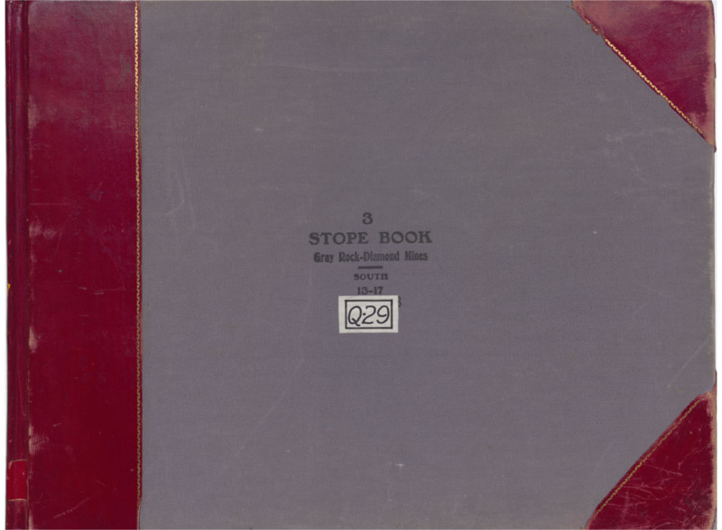
Q29 Vol. 5 Gray...

Gray Rock
-
Item 4 of 6
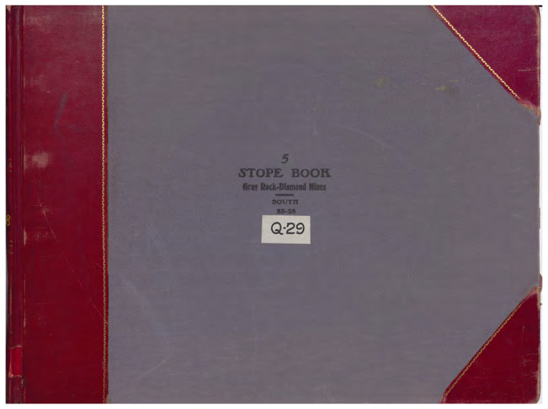
- Title:
- Q29 Vol. 5 Gray Rock/Diamond South
- Includes Sill(s):
- 2300, 2400, 2500, 2600, 2700, 2800
- Mine Name(s):
- Gray Rock Diamond Mountain Consolidated
- Volume:
- 5
- Sill Range:
- 2300 - 2800
- Township:
- 03N
- Range:
- 07W
- Section:
- 7
- Latitude:
- 46.024519
- Longitude:
- -112.52399
- Source:
- Butte Silver Bow Public Archives
- Type:
- Image;StillImage
- Format:
- application/pdf
Source
- Preferred Citation:
- "Q29 Vol. 5 Gray Rock/Diamond South", Butte Stope Books, Montana Bureau of Mines and Geology
- Reference Link:
- /Information/Collections/Butte-Stope-Books/items/bsb158.html#bsb162
Rights
- Rights:
- In Copyright - Educational Use Permitted.
- Standardized Rights:
- http://rightsstatements.org/vocab/InC-EDU/1.0/
Q29 Vol. 6 Gray...
Gray Rock
-
Item 5 of 6
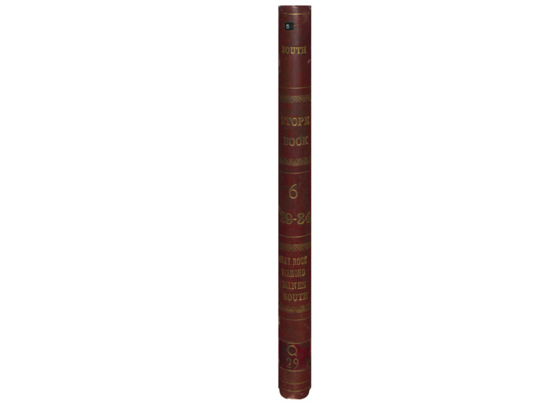
- Title:
- Q29 Vol. 6 Gray Rock/Diamond South
- Includes Sill(s):
- 3000, 3200, 3300, 3400
- Mine Name(s):
- Diamond Speculator Mountain Consolidated Badger State
- Volume:
- 6
- Sill Range:
- 2900 - 3400
- Township:
- 03N
- Range:
- 07W
- Section:
- 7
- Latitude:
- 46.024519
- Longitude:
- -112.52399
- Source:
- Butte Silver Bow Public Archives
- Type:
- Image;StillImage
- Format:
- application/pdf
Source
- Preferred Citation:
- "Q29 Vol. 6 Gray Rock/Diamond South", Butte Stope Books, Montana Bureau of Mines and Geology
- Reference Link:
- /Information/Collections/Butte-Stope-Books/items/bsb158.html#bsb163
Rights
- Rights:
- In Copyright - Educational Use Permitted.
- Standardized Rights:
- http://rightsstatements.org/vocab/InC-EDU/1.0/
Q29 Vol. 7 Gray...
Gray Rock
-
Item 6 of 6
- Title:
- Q29 Vol. 7 Gray Rock/Diamond South
- Includes Sill(s):
- 3400, 3600, 3900
- Mine Name(s):
- Mountain Consolidated
- Volume:
- 7
- Sill Range:
- 3400 - 3900
- Township:
- 03N
- Range:
- 07W
- Section:
- 7
- Latitude:
- 46.024519
- Longitude:
- -112.52399
- Source:
- Butte Silver Bow Public Archives
- Type:
- Image;StillImage
- Format:
- application/pdf
Source
- Preferred Citation:
- "Q29 Vol. 7 Gray Rock/Diamond South", Butte Stope Books, Montana Bureau of Mines and Geology
- Reference Link:
- /Information/Collections/Butte-Stope-Books/items/bsb158.html#bsb164
Rights
- Rights:
- In Copyright - Educational Use Permitted.
- Standardized Rights:
- http://rightsstatements.org/vocab/InC-EDU/1.0/
- Title:
- Gray Rock
- Township:
- 03N
- Range:
- 07W
- Section:
- 7
- Latitude:
- 46.024471
- Longitude:
- -112.52402
- Type:
- record
- Format:
- compound_object
Source
- Preferred Citation:
- "Gray Rock", Butte Stope Books, Montana Bureau of Mines and Geology
- Reference Link:
- /Information/Collections/Butte-Stope-Books/items/bsb158.html