MBMG Geologic Mapping
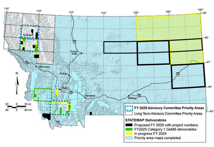
Geologic mapping in Montana is supported by the U.S. Geological Survey’s STATEMAP Program, a component of the National Cooperative Geologic Mapping Program. Funding for STATEMAP is awarded by the U.S. Geological Survey (USGS) through a competitive grant process that requires matching dollars from the State and completion of all funded maps within one year. All published STATEMAP products are available for free download from the MBMG website and also from the USGS National Geologic Map Database.
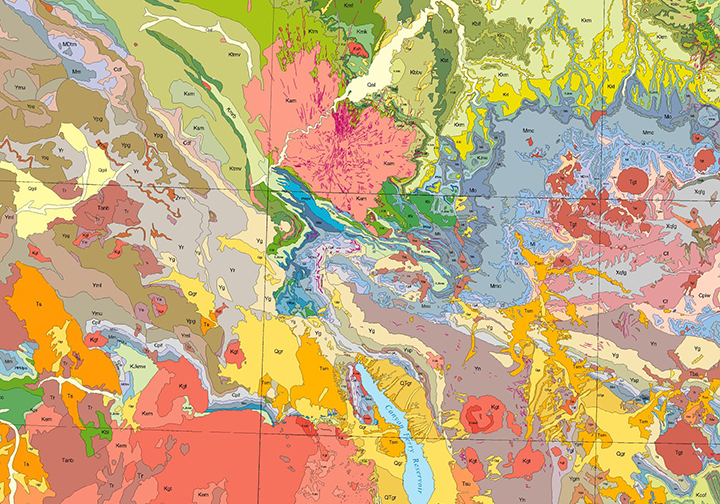
Map areas are prioritized by a State Mapping Advisory Committee that represents Montana industries and universities, as well as Federal, State, and Tribal agencies. The Advisory Committee’s main priority is to complete geologic maps of all 30′ x 60′ quadrangles (1:100,000-scale) in Montana. Their second priority is detailed maps that focus on significant geologic issues, transportation corridors, or on areas where population development is occurring or anticipated. Staff geologists conduct new field mapping and work with existing geologic maps to produce new geologic maps in the priority areas.
Other Areas of Interest
Geohazards/Earthquake StudiesEconomic Geology
Energy Resources
Contact a Geologist
Program Manager
Jesse Mosolf Email
Staff Geologists
Colleen Elliott Email
Katie McDonald Email
Yann Gavillot Email
Jeff Lonn Email
Stuart Parker Email
Daniel Brennan Email
Susan Vuke Email
Mandy Willingham Email
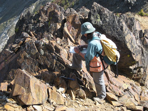
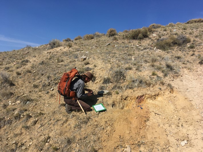
Colleen Elliott, collecting a sample in the Highland Mountains
Geologist Yann Gavillot, mapping in Ruby Range,southwest Montana
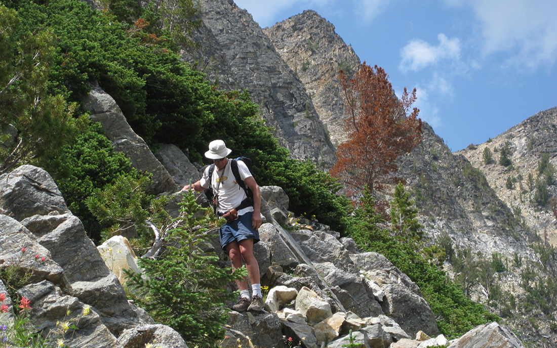
Jeff Lonn, mapping in the Pioneer Mountains
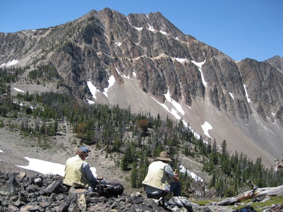
MBMG and the Idaho Geologic survey collaborate on geologic maps that span our common border
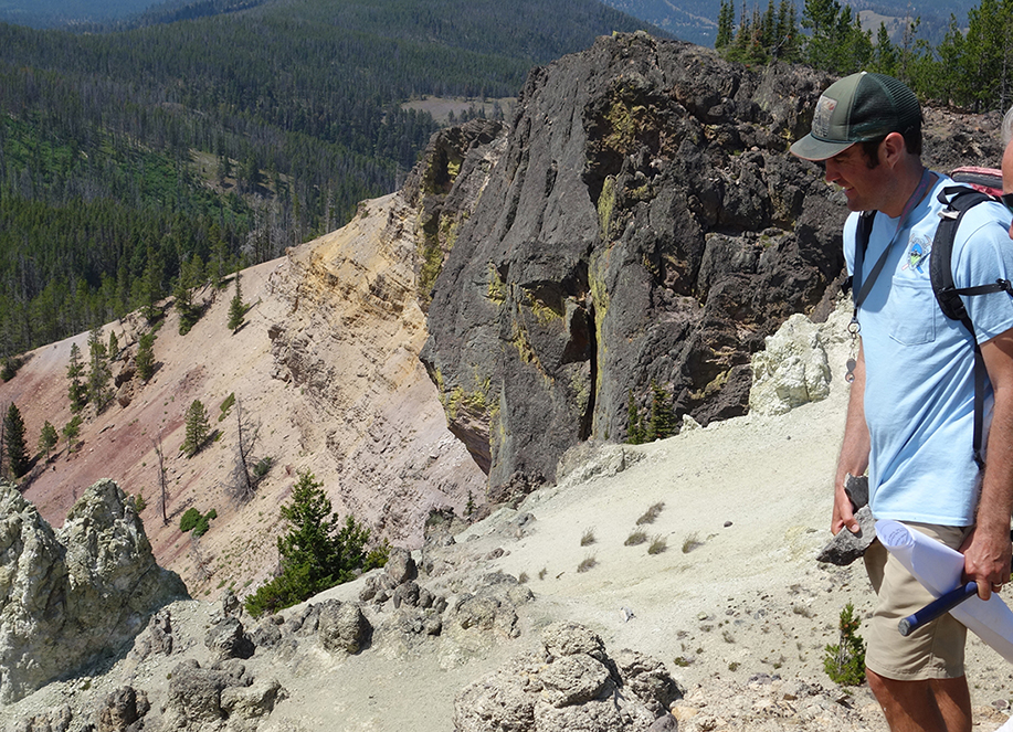
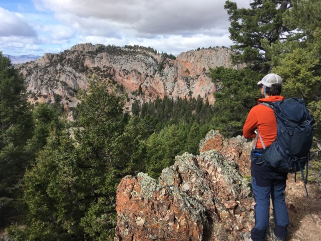
Jesse Mosolf, examining the volcanic rocks at Crater Mountain, southeast of Lincoln, MT
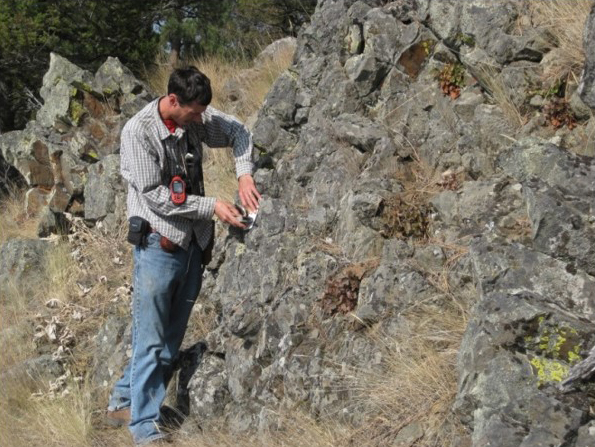
Geologist Kaleb Scarberry, measuring foliation in a basalt flow
MBMG geologists involve undergraduate and graduate students from various universities in our geologic map projects
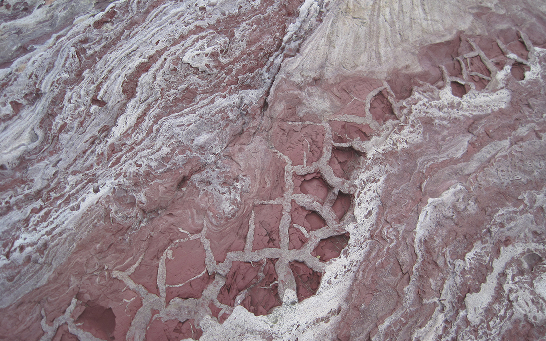
Mudcracks in Precambrian Belt rocks in northwest Montana
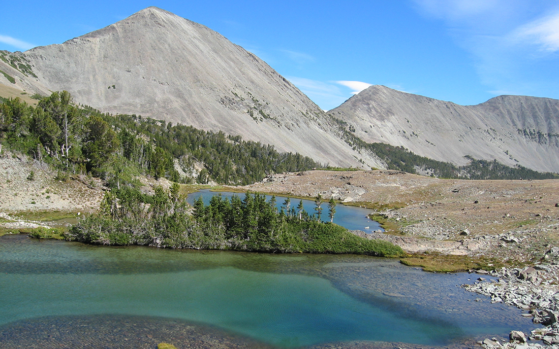
Sunlight Lake, Crazy Mountains, igneous