Active Faults
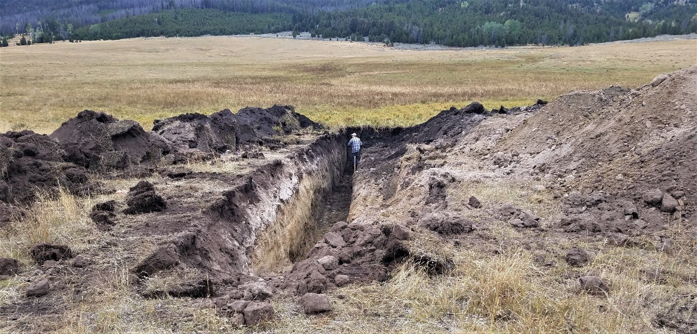
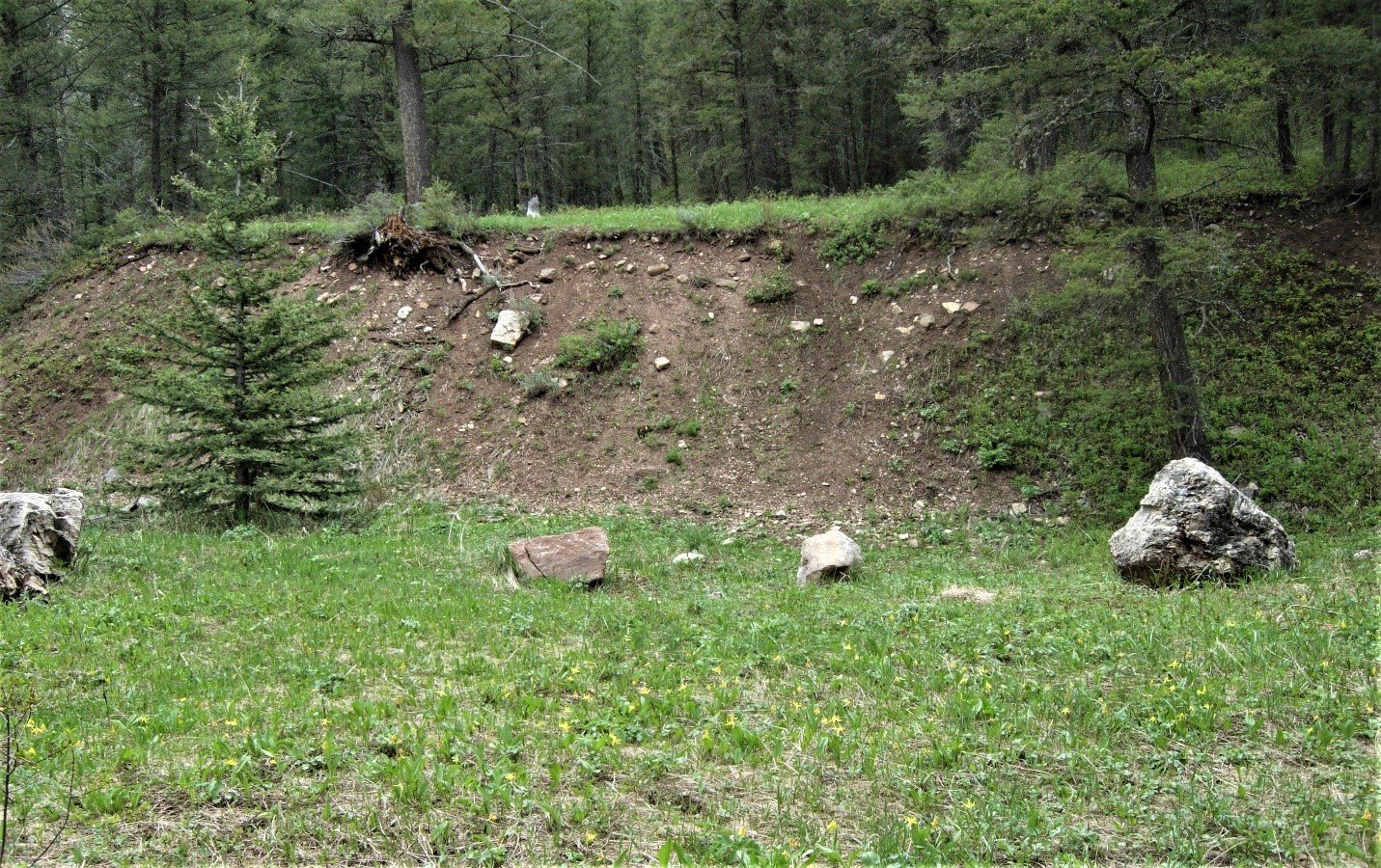
The MBMG provides research and information on Montana’s active faults that demonstrate fault activity during recent geologic time (Quaternary faults) and have the potential to generate damaging earthquakes. Hazards associated with active faults include earthquake damage due to ground shaking, surface displacement due to fault rupture, triggering of landslides, and liquefaction. New fault mapping, paleoseismology, radiometric dating techniques, and remote sensing techniques using Light Detection and Ranging (LiDAR) provide means to identify new active faults and update Montana’s Quaternary fault database used for the National Seismic Hazards Maps.
