Landslides
The Landslide Hazards Program aims to identify, map, and categorize landslide areas across the State of Montana to better understand spatial distribution and causes of ground failure to help mitigate against landslide hazards. New and ongoing deployment of Light Detection and Ranging (LiDAR) techniques provides means to create high-resolution imagery and remove vegetation cover to identify landslide processes.
Related Publications and Data
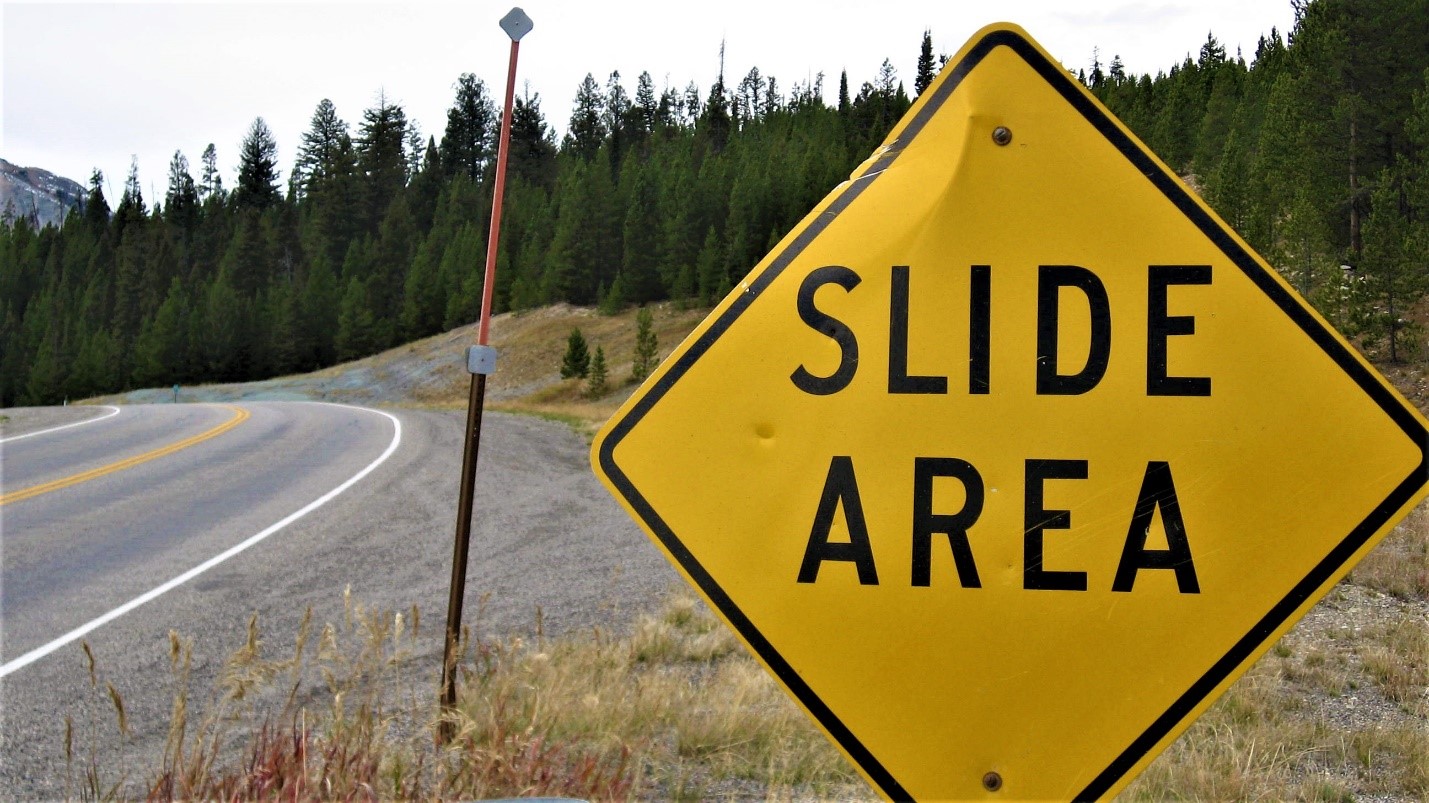
Big Sky slide area road sign
Photo by Susan Vuke
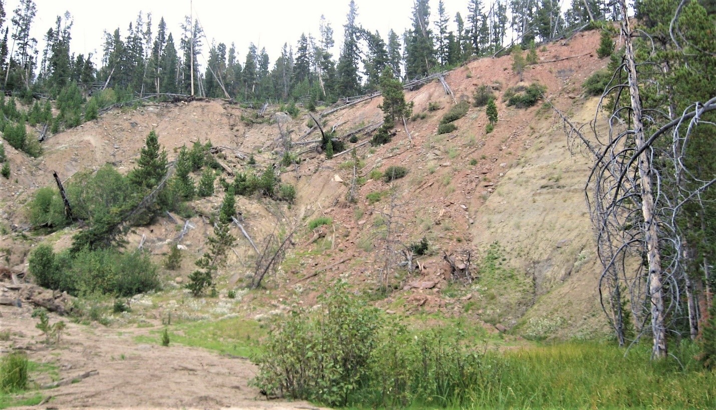
Moonlight Creek landslide near Big Sky
Photo by Susan Vuke
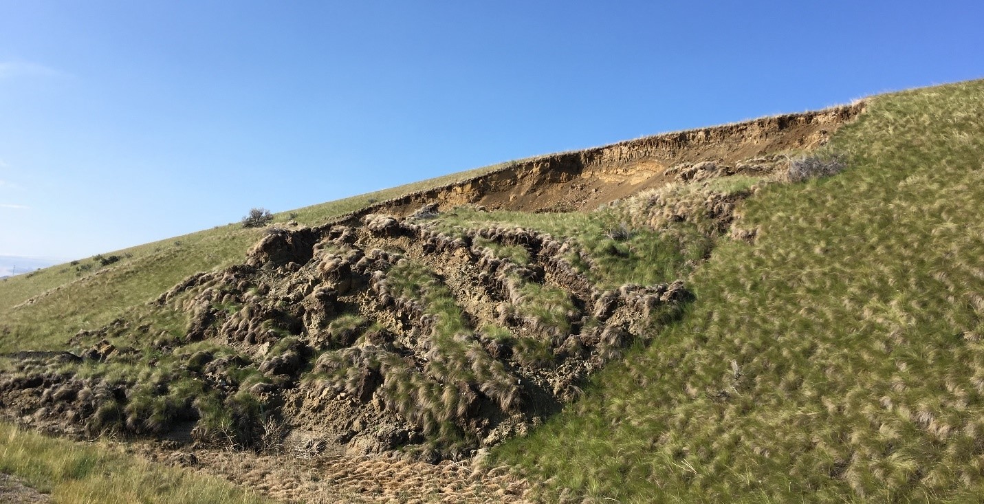
Landslide in Tertiary sediments near Divide along Interstate 15
Photo by Katie McDonald
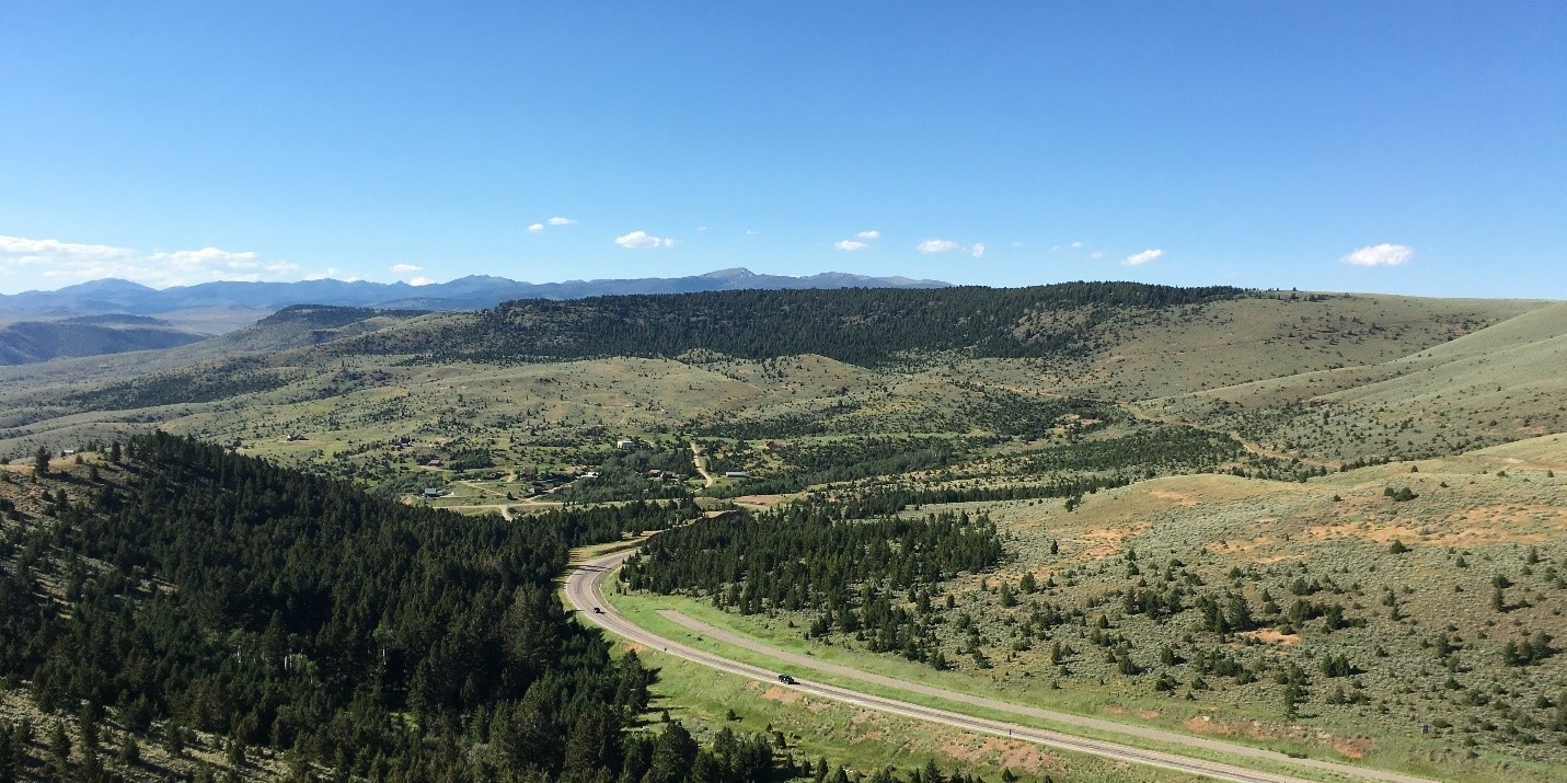
Landslide in Tertiary volcanic rocks near Virginia City
Photo by Jesse Mosolf