MC 21— Lewis and Clark in Montana
The Lewis and Clark Expedition
started up the Missouri on May 14, 1804. Theirs was a scientific
mission—to discover what they could about the upper Missouri
and a connecting route from its headwaters to the Pacific. Little
information has reached the public detailing the geography, geology,
minerals or fossils that Lewis and Clark described in their journals.
Miscellaneous Contribution 21 A–J,
compiled 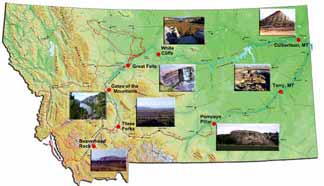 by
Bob Bergantino and Ginette Abdo, is a set of posters, with a geologic
slant, done to commemorate the 200th anniversary of Lewis and Clark's
journey
We're offering them for $10 dollars each, or $100.00 for the complete set (MC 21K) plus Special Publication 116– The Route and Campsites of Lewis and Clark in Montana: A Geologic Perspective.
The posters are 24" by 30", printed on high-quality glossy paper.
For another way to view this information we also have these posters formatted as web pages within our site: Lewis and Clark in Montana – a geologic perspective.
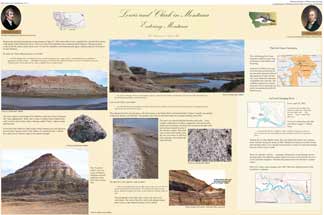
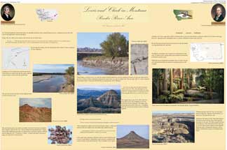
MC 21A — Lewis and Clark in Montana: Entering Montana
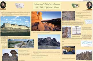
MC 21B — Lewis and Clark in Montana: The White Cliffs of the Missouri
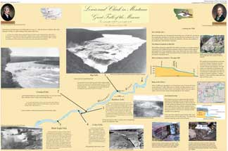
MC 21C — Lewis and Clark in Montana: Great Falls of the Missouri
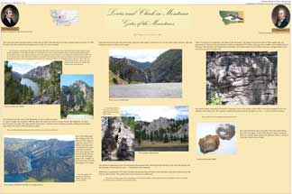
MC 21D — Lewis and Clark in Montana: Gates of the Mountains
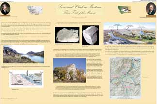
MC 21E — Lewis and Clark in Montana: Three Forks of the Missouri
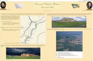
MC 21F — Lewis and Clark in Montana: Beaverhead Rock
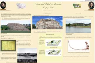
MC 21G — Lewis and Clark in Montana: Pompeys Pillar
MC 21H — Lewis and Clark in Montana: Powder River Area
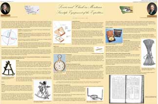
MC 21I — Lewis and Clark in Montana: Scientific Equipment of the Expedition
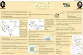
MC 21J— Lewis and Clark in Montana: Finding the Latitude
