Four Corners, Gallatin Valley
Background
Residential and commercial development is transforming the historically agricultural landscape in the Four Corners area four miles west of Bozeman. Domestic water use is increasing as previously irrigated lands are developed to support the growing population. The possible hydrologic effects of land-use conversion from irrigated agriculture to high-density residential have raised questions concerning both water availability and quality.
Purpose
The aquifer in the Four Corners area was evaluated to examine the effects of land-use conversion and changing irrigation practices on groundwater availability and quantity. Potential effects of future land-use changes from agriculture to residential development were evaluated using a numerical groundwater flow model.
Project Scope
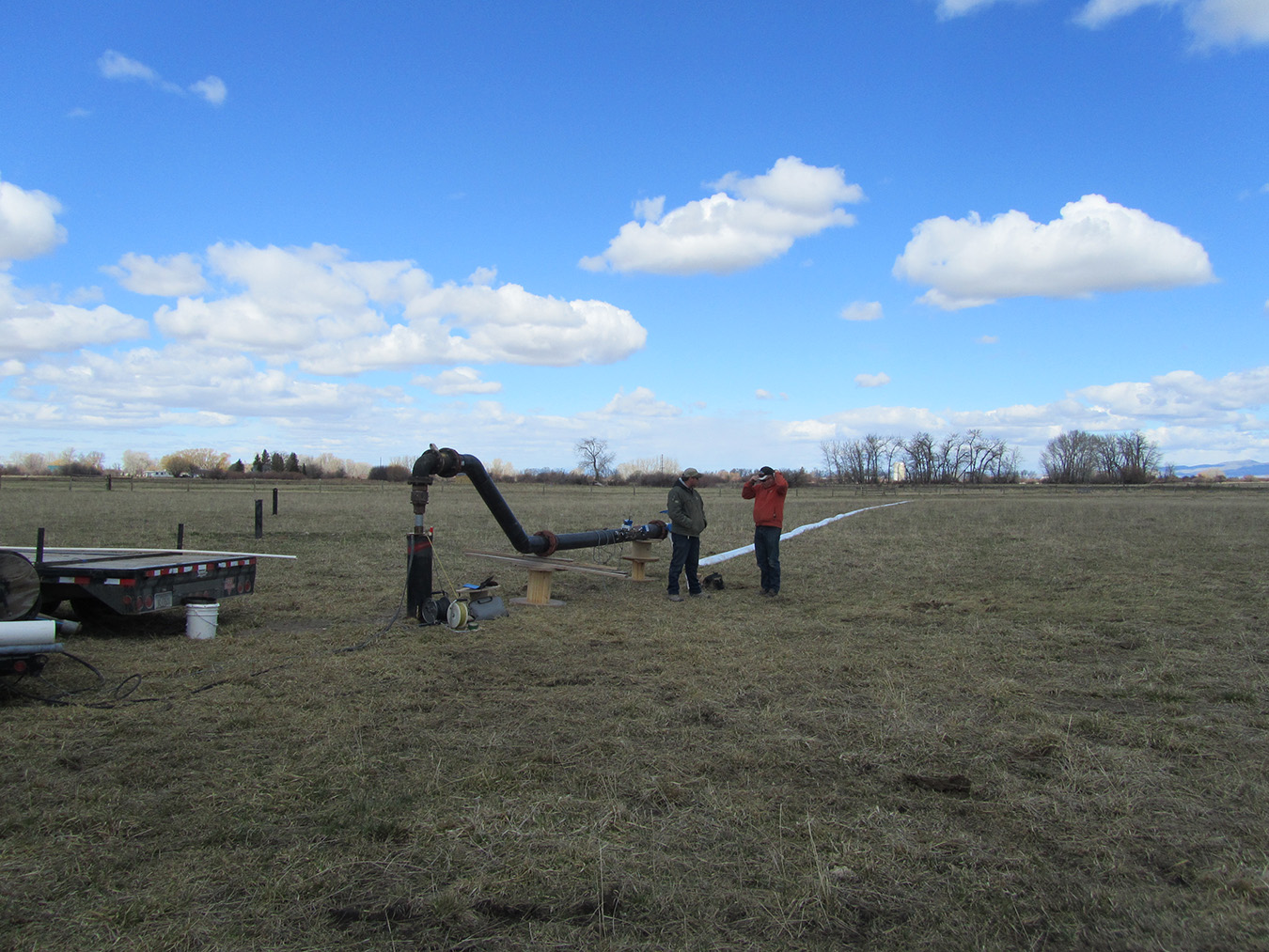
GWIP monitored 95 wells and 29 surface-water locations along the West Gallatin and major tributaries. Twenty-four monitoring wells were drilled and three aquifer tests provided information on aquifer properties. Groundwater and surface-water samples were collected to examine aquifer chemistry and groundwater/surface-water interaction. A water budget and conceptual model provided the basis for the numerical groundwater flow model. The groundwater flow model evaluated the potential effects of increasing residential development on groundwater.
Results
Groundwater conditions today are generally similar to those in the 1950s but future changes in land use, irrigation practices, and climatic conditions are likely to cause decreases in aquifer water levels. The modeled hydrologic response showed that groundwater levels are sensitive to river and canal leakage. The modeling scenarios that simulated increases in residential development and a decrease in irrigated lands resulted in a slight drop in water elevations, but aquifer levels are highly dependent on irrigation recharge. As irrigation changes to more efficient methods, groundwater recharge will decrease and effects on water levels in the aquifer and streamflows should be considered.
Project Reports
- Hydrogeologic investigation of the Four Corners area, Gallatin County, Montana: Interpretive report (Michalek, T., and Sutherland, M., 2020)
View in Catalog - Hydrogeologic investigation of the Four Corners study area, Gallatin County, Montana, Groundwater Modeling Report (Sutherland, M., Michalek, T., and Wheaton, J., 2014)
View in Catalog
Download report (25 MB)
Download Report (7.06 MB)
Download Model Steady State Files (5.6 MB)
Download Model Transient Files (0.47 MB)
Download Model Map Files (0.98 MB)
Presentations
- Hydrogeologic Investigation of the Four Corners Study Area, Gallatin County, Montana. Presented at the Regional GSA Meeting, October 2014.
View Presentation
Link to Project Data
Data collected for this project can be accessed through the Ground Water Information Center (GWIC) database:
Download project data from GWIC
Program Resources
Contact Information
Program Information
Ginette Abdo, GWIP Manager
(406) 496-4152 | Email