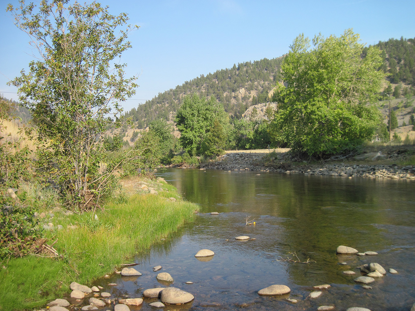
Boulder River Watershed, Jefferson County
Background
Portions of the Lower Boulder River often dry up in the late summer due to irrigation diversions and infiltration of river water into the alluvial aquifer. The Montana Department of Fish Wildlife and Parks has identified the reach of the Boulder River from the town of Boulder to Cold Spring (about a 24-mile river reach) as “chronically dewatered.” As such, residents were concerned about potential impacts to the river flows from increased groundwater development, and were interested in understanding the potential to increase late-summer flows by using managed recharge.
Purpose
The Boulder Valley groundwater investigation focused on: (1) understanding the potential impacts to surface-water flows from increased groundwater withdrawals; and (2) evaluating the potential of using managed recharge to supplement late-summer flows in the Boulder River.
Project Scope
A network of 78 wells, 1 spring, and 16 surface-water sites was monitored from February 2012 to June 2013 to obtain groundwater level, flow, stage, and water-quality information. A synoptic water-quality sampling event was conducted in late July and early August 2012. Additional samples were collected in April 2013 to aid in identifying the source of Cold Spring. Twenty-three groundwater monitoring wells were installed at 10 sites, and 13 aquifer tests were performed to provide additional information on aquifer properties. A water budget was developed for groundwater recharge and discharge components. Numerical groundwater models were constructed, calibrated, and used to test the potential effects of increased residential development and managed recharge scenarios on groundwater and surface water.
Results
Groundwater development in near-stream shallow aquifers will have a direct effect on stream flows; however, the timing, location, and magnitude of those effects will depend on aquifer properties and the distance between the well and the stream. For this study, the most intense development modeled (128 residences on 10-acre lots) would cause flow in the river to decrease by 0.06 cubic feet per second (cfs) after 20 years of pumping. Streamflows would continue to decrease until all of the pumping is offset by stream losses.
This study also showed that local hydrogeologic conditions provide the opportunity to use managed recharge to enhance stream flow. Model simulations of infiltrating water into the bench sediments showed an increase in late-summer flows by up to 2 cfs. The effectiveness of using infiltration basins to increase stream flows depends on the location and size of the infiltration basins, and on the underlying soil and aquifer properties.
Project Reports
- Groundwater/surface-water study in the Boulder Valley: Effects of groundwater withdrawal (Bobst, A.L., and Abdo, G., 2017)
View in Catalog - Hydrogeologic investigation of the Boulder Valley, Jefferson County, Montana: Interpretive report (Bobst, A.L., Butler, J., and Carlson, L., 2016)
View in Catalog - Hydrogeologic investigation of the Boulder Valley, Jefferson County, Montana: Groundwater Modeling Report (Butler, J., and Bobst, A.L., 2017)
View in Catalog
Download report (615 KB)
Download report (6.43 MB)
Download Report (7 MB)
Download transient modeling file (7.0 MB)
Download baseline modeling file (14.2 MB)
Download Scenario 1 (14.4 MB)
Download Scenario 2 (14.0 MB)
Download Scenario 3 (145 MB)
Download Scenario 4 (14.3 MB)
Download steady state modeling files (5.6 MB)
Presentations
- An Overview of the Boulder Valley Groundwater Investigation. Presentation to the Jefferson County Commissioners, January 20, 2015.
View Presentation - Groundwater and Surface-Water Interactions within the Boulder River Valley. Presentation at Montana Section of the American Water Resources Association (AWRA), October 2014.
View Presentation - Investigation of the Source of Water for Cold Spring–Boulder River Valley, Montana. Presentation at Montana Section of the American Water Resources Association (AWRA), October 3, 2013.
View Presentation
Link to Project Data
Data collected for this project can be accessed through the Ground Water Information Center (GWIC) database:
Download project data from GWIC
Program Resources
Contact Information
Program Information
Ginette Abdo, GWIP Manager
(406) 496-4152 | Email