Flathead Valley, Flathead and Lake Counties
Background
The Flathead Valley deep alluvial aquifer underlies the valley bottom from the north shore of Flathead Lake to near Whitefish and Columbia Falls. This is the most productive aquifer in the valley, supplying high-capacity municipal and irrigation wells in addition to thousands of domestic wells. The deep alluvial aquifer is a thick, unconsolidated, confined aquifer composed of gravel and sand. It is overlain by a confining unit of glacial till and lake sediments. The top of the aquifer lies 100 to over 790 feet below the land surface. Land use in the valley has historically been agricultural with an emphasis on irrigated crops, many of which require high volumes of water. The population in the Kalispell Valley has increased 180% during the past several decades. Between 1960-2014, the number of domestic water wells increased approximately 450% and high-volume irrigation and public water supply wells increased 310% during this same period.
Purpose
The research concerns were to determine: 1) whether withdrawals from the deep alluvial aquifer affect surface-water resources; and 2) if current stresses were creating declining water-level trends.
Project Scope
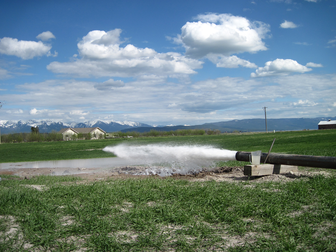
A network of 96 wells and 12 surface-water sites were monitored from 2010 through 2013 to obtain water levels, water-quality and streamflow information. Eleven wells were installed as part of this project. Aquifer tests conducted at three locations evaluated site-specific characteristics of the deep alluvial aquifer and the confining unit. Results from 95 aquifer tests previously conducted in the valley were compiled and included in the analyses for this project. A 3-dimensional geologic model of the subsurface stratigraphy was developed with an emphasis on the character of the confining unit.
Results
Water can move vertically through the confining unit, but extremely slowly, due to its low hydraulic conductivity. Therefore, throughout much of the valley, withdrawals from the deep aquifer are unlikely to directly affect surface-water sources. Long-term (1996–2017) monitoring of groundwater elevations in the western and southern portions of the focus area generally shows statistically significant decreases; with no statistical decline in the amount of precipitation during this period, pumping from the deep aquifer likely causes these groundwater-level declines. In the northern and eastern areas, there are no statistically significant increasing or decreasing trends; proximity to recharge may explain the relatively stable water levels in these areas.
Project Reports
- An evaluation of the unconsolidated hydrogeologic units in the south-central Flathead Valley, Montana (Bobst, A., Rose, J., Berglund, J., 2022)
View Report - Hydrogeologic investigation of the deep alluvial aquifer, Flathead Valley, Montana (Rose, J., Bobst, A., Gebril, A., 2022)
View Report - Three-dimensional hydrostratigraphic model of the subsurface geology, Flathead Valley, Kalispell, Montana (Rose, J., 2018)
View in Catalog
Download report (4.81 MB)
Download appendix A (excel spreadsheet) (.130 MB)
Download bedrockSurface.txt (text file) (35.6 MB)
Download DeepAlluvium.txt (text file) (.234 MB)
Download aquitardSurface.txt (text file) (.038 MB)
Download ShallowSedsSurface.txt (text file) (.027 MB)
Download Silt_Clay_Gravel_ZoneofDeepAlluviumSurface.txt (text file) (.031 MB)
Download TertiarySediments.txt (text file) (.001 MB)
Download zipped modeling file (66.5 MB)
Download all auxiliary files zip file (75.7 MB)
Download plate 1 (lacustrine-till aquitard thickness map) (4.6 MB)
Presentations
- Thickness of the Deep Aquifer and Character of the Underlying sediments in the Flathead Valley. Presentation to the Montana American Water Resources Association (AWRA), October 13, 2022, Butte, Montana.
Link to Project Data
Data collected for this project can be accessed through the Ground Water Information Center (GWIC) database:
Download project data from GWIC
Program Resources
Contact Information
Program Information
Ginette Abdo, GWIP Manager
(406) 496-4152 | Email