Lower Beaverhead River Valley, Beaverhead County
Background
The main economy in the lower Beaverhead River Basin is irrigated agriculture supplied from groundwater and surface-water sources. The basin was closed to new surface-water appropriations in 1993. Subsequent legislation in 2007 revised water laws in closed basins by requiring a “hydrogeologic assessment” to determine if a new well would result in a net depletion of surface water and have an “adverse effect” on a prior appropriator. Applications for new well permits in the study area are typically challenged by senior water-rights holders. A primary objection is that groundwater withdrawals will reduce streamflow and lower groundwater levels.
Purpose
The purpose of the project was to determine the magnitude and extent of groundwater occurring due to high-capacity irrigation pumping from aquifers, and to evaluate possible impacts to sloughs and the Beaverhead River from future groundwater development.
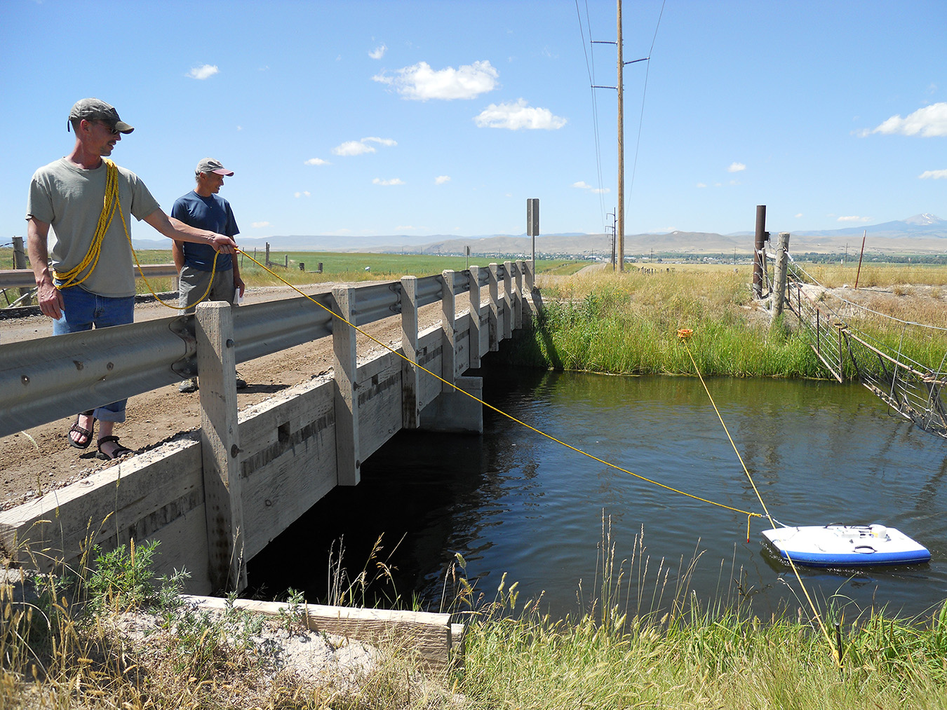
Project Scope
Data collection efforts included monitoring water levels in 155 wells, and flows in 17 surface-water and irrigation canal sites. Water-quality samples from 33 wells and 13 surface-water sites were collected to assess groundwater/surface-water interaction and to evaluate groundwater recharge sources. Two aquifer tests provided estimates of hydraulic conductivity (K) of the Tertiary sediment and volcanic rock aquifers and allowed us to examine potential effects on surface water during pumping. Canal flow measurements determined leakage amounts along the East Bench and West Side Canals. A water budget and numerical groundwater models were constructed to model scenarios evaluating the effects of the timing and magnitude of stream depletion in several sloughs and the Beaverhead River.
Results
Groundwater and surface water are connected and interchange seasonally. The total annual 2010 water budget was about 486,000 acre-ft with surface water accounting for over 50% of the budget.
Irrigation systems provide significant groundwater recharge in the study area, through both canal leakage and water applied to fields. Canal leakage contributed about 23,000 acre-ft of water to groundwater in 2010.
Data during a 3-day aquifer test in the volcanic rock aquifer indicated a connection between the aquifer and a nearby slough, which recovered as the groundwater level recovered. Numerical modeling indicates that future groundwater development may result in stream depletion in the Beaverhead River and its tributaries. Within the 20-year modeled period, the magnitude of maximum depletion decreased the further the wells were from the river and the timing of depletion was delayed with increasing distance. Modeling also showed that extending the period of canal flow can offset stream depletion and groundwater drawdown by providing additional groundwater recharge.
Project Reports
- Hydrogeologic investigation of the Beaverhead River study area, Beaverhead County, Montana (Abdo, G., Butler, J., Myse, T., Wheaton, J., Snyder, D., Metesh, J., and Shaw, G., 2013)
View in Catalog - Hydrogeologic investigation of the Beaverhead River study area, Beaverhead County, Montana, groundwater modeling report (Butler, J.A., and Abdo, G., 2013)
View in Catalog
Download Report (9.2 MB)
Download Report (9.96 MB)
Download Steady State files (30.6 MB)
Download Transient files (61.9 MB)
Download Predicted Scenario 1 (986 MB)
Download model maps (6.6 MB)
Presentations
- GWIP Beaverhead River Investigation Presented to the Beaverhead River Watershed Committee, November 2012
View Presentation
Link to Project Data
Data collected for this project can be accessed through the Ground Water Information Center (GWIC) database:
Download project data from GWIC
Program Resources
Contact Information
Program Information
Ginette Abdo, GWIP Manager
(406) 496-4152 | Email