Lolo Creek, Missoula County
Background
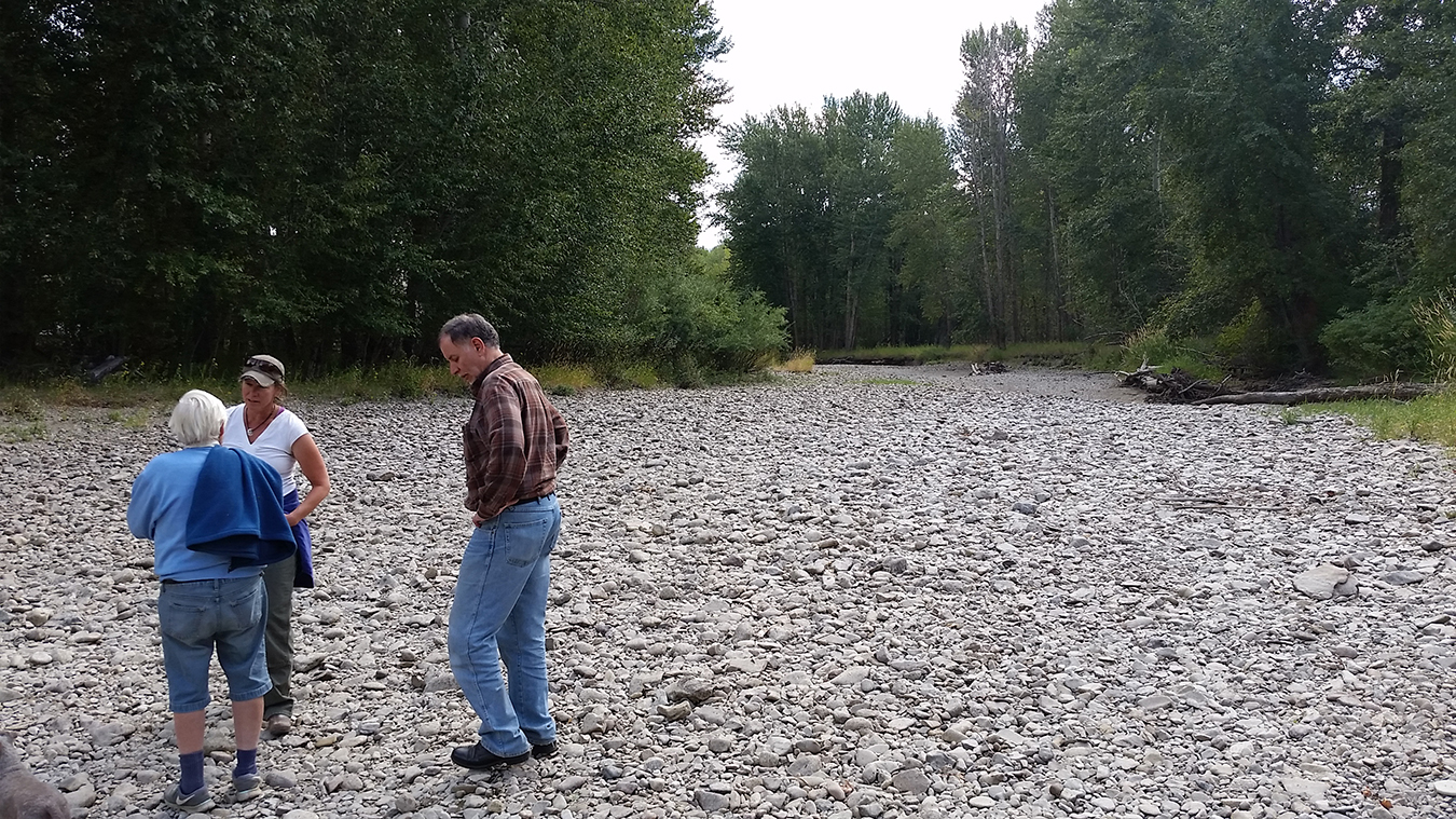
Lolo Creek, a perennial tributary to the Bitterroot River, has in some years become intermittent in the lower reaches during late summer and early fall. The creek, designated as a critical bull trout habitat, is a perennial fishery and water resource from above Lolo Hot Springs to its confluence with the Bitterroot River. Montana Fish, Wildlife and Parks list bull trout as threatened and a species of concern. They spawn from August through November, times that the lower reaches of the Creek are dry in some years. The Lolo Creek alluvial aquifer is an important water resource for domestic and municipal wells and is likely in direct communication with the surface water. Population growth and the addition of more water wells has resulted in higher volumes of groundwater withdrawals.
Purpose
The purpose of this GWIP project is to determine the cause(s) of changes in streamflow character in the lowest reaches of Lolo Creek that have resulted in the channel occasionally being dry. The GWIP investigation will: 1) evaluate the surface-water budget components to determine correlations with streamflow gains and losses; and 2) investigate how groundwater stresses influence Lolo Creek streamflow.
Project Scope
Water levels in a network of 75 wells, and stage and flows at 13 surface-water sites, were measured from Spring 2015 through December 2017. Twenty-six dedicated monitoring wells were installed to monitor groundwater/surface-water interactions. Aquifer tests were conducted to estimate the aquifer properties. The hydrogeologic framework, groundwater budget, and groundwater flow model were developed to determine the necessary flow rates in Lolo Creek to maintain critical flow volumes in the dewatered reac.
Results
Flows in the dewatered portion of Lolo Creek are heavily dependent on the volume of surface water entering the study area, and to a lesser degree, Bitterroot River stage. In low water years, when flow entering the valley is low, and river stages are low, the amount of legally diverted water for irrigation strongly influences the ability of the creek to maintain flows through the entirety of the floodplain. Under the current geomorphic channel constraints, 11 cfs is necessary to maintain fish passage through the critically dewatered reach. To maintain this flow rate, >28 cfs must pass the irrigation diversions at the pinch point entering the valley. Annual snow accumulation, precipitation, and diversion rates all contribute to the likelihood of the creek maintaining this level of flow in the late summer months.
Project Reports
- Aquifer test completed in the northern Bitterroot Valley, Lolo, Montana (Myse, T., 2022)
View Report
Presentations
- Modeling surface and groundwater interaction to study dewatering of the end reaches of Lolo Creek, Montana. Presentation to the Montana American Water Resources Association (AWRA), October 14, 2022, Butte, Montana.
- Lolo Creek Project, Ground Water Investigation Program, Montana AWRA, October 2017 (Carstarphen and Wheaton, 2017)
View Presentation - GWIP Lolo Creek Project Handout (Carstarphen and Wheaton, May 2017)
View Presentation - GWIP Lolo Creek, 2016 Lolo Creek Watershed Symposium, September 14, 2016 (Carstarphen and Wheaton)
View Presentation
Link to Project Data
Data collected for this project can be accessed through the Ground Water Information Center (GWIC) database:
Download project data from GWIC
Program Resources
Contact Information
Program Information
Ginette Abdo, GWIP Manager
(406) 496-4152 | Email