Musselshell River, Musselshell, Rosebud and Petroleum Counties
Background
The Musselshell River is the only source of irrigation water for agricultural producers along the middle and lower Musselshell River; however, elevated salinity levels in the river create soil and crop management challenges. Understanding the relative contribution of salinity to groundwater from both flood and pivot irrigation can provide information to help control salt mobilization to the river. Canal leakage may mobilize salts, or may provide a diluting effect. Identifying where canals can be lined may reduce salt mobilization.
Purpose
GWIP scientists are investigating the sources of salinity in the Lower Musselshell River from Delphia to Melstone, the role irrigation plays in groundwater/surface-water interaction, and mobilization of native salts.
Project Scope
The project scope includes identifying possible salt contributions from groundwater to the river. Delineating the relative significance of salt mobilization in the unsaturated zone, the role of canal leakage, and flood and pivot irrigation will allow the irrigators to target their infrastructure improvements to reduce salt mobilization.
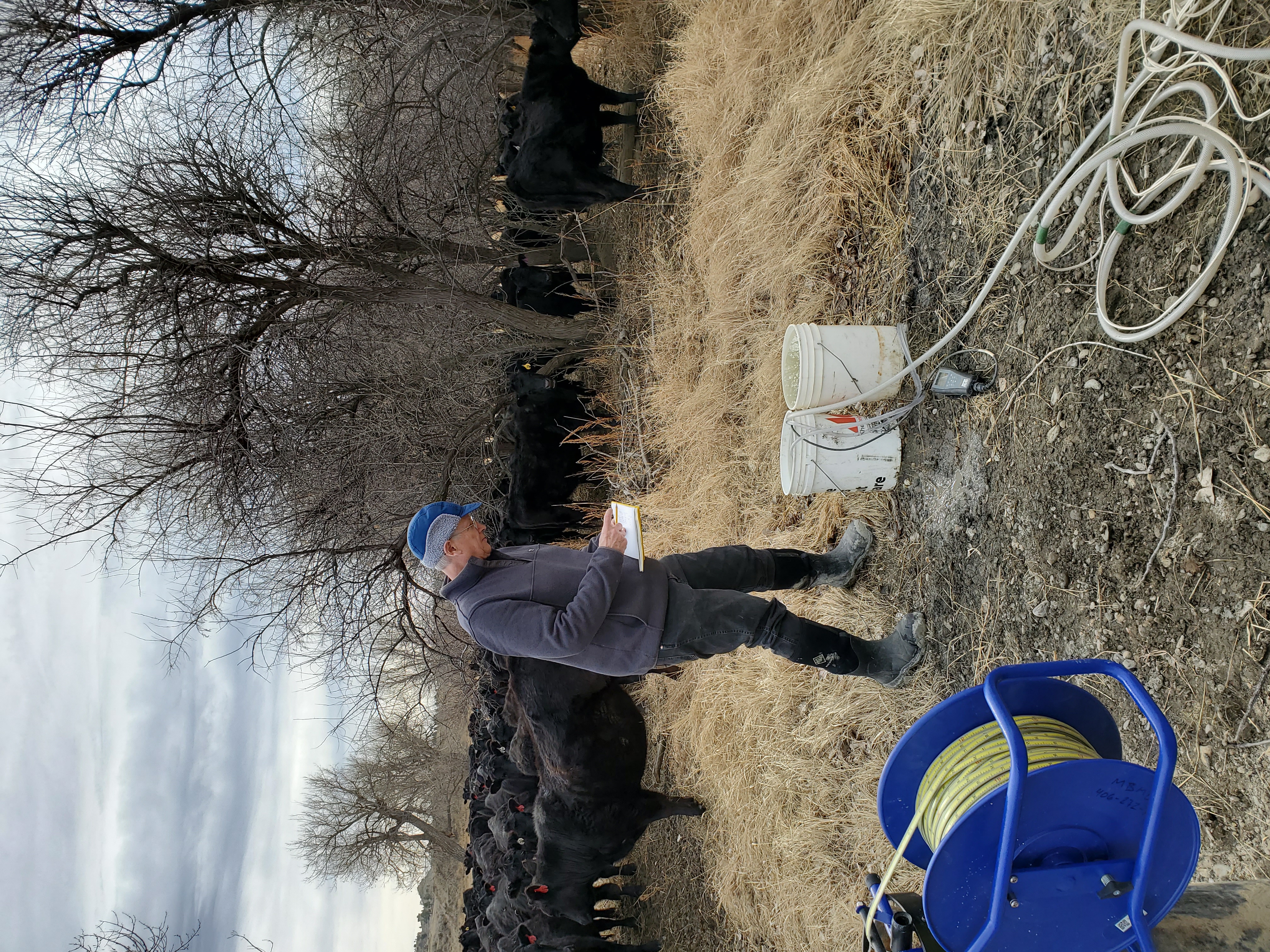
GWIP installed 20 monitoring wells near Delphia and Melstone to examine groundwater/surface-water interactions. Most wells were instrumented with automated loggers that measure salinity (as specific conductance), water level, and temperature hourly. Groundwater and surface-water sampling, analyzed for a suite of analytes including major ions, metals, and strontium isotopes, will fingerprint groundwater sources.
Results
The high salinity in the Musselshell River in the spring is not irrigation-related, but is a result of the seasonal dominance of groundwater entering the river and the naturally occurring salts in the soil and rock which are dissolved into the groundwater. In late summer and early fall, irrigation return flows increase the salinity of the Musselshell River from Delphia to Melstone by approximately 20 to 30 percent. However, this increase occurs when the river salinity is low due to upstream reservoir releases. Marginal improvements to lower the salinity of the river could be achieved through the installation of center pivots (replacing flood irrigation) or lining the irrigation canals; however, these would not prevent the river from approaching 3,000 µS/cm in the early spring, when groundwater baseflow makes up a large portion of total flow in the river.
Project Reports
- Sources of salinity to the Musselshell River: Executive summary (Meredith, E., Smith, M., and Kuzara, S., 2023)
View in Catalog - Sources of salinity to the Musselshell River, Musselshell County, Montana (Meredith, E., and Kuzara, S., 2023)
View Report
Download report (4 MB)
Presentations
We have no presentations regarding this project for you to view at this time.Link to Project Data
Data collected for this project can be accessed through the Ground Water Information Center (GWIC) database:
Download project data from GWIC
Program Resources
Contact Information
Program Information
Ginette Abdo, GWIP Manager
(406) 496-4152 | Email