Stevensville, Ravalli County
Background
In recent years, flows in the Bitterroot River near Corvallis and Stevensville have shifted between an east and west channel. This results in difficult and expensive maintenance activities to sustain sufficient flow for water diverted into the East Channel for irrigation.
Purpose
The project purpose was to evaluate the scientific feasibility of using groundwater to supplement or replace irrigation water that is currently supplied from the mainstem of the Bitterroot River to the East Channel.
Project Scope
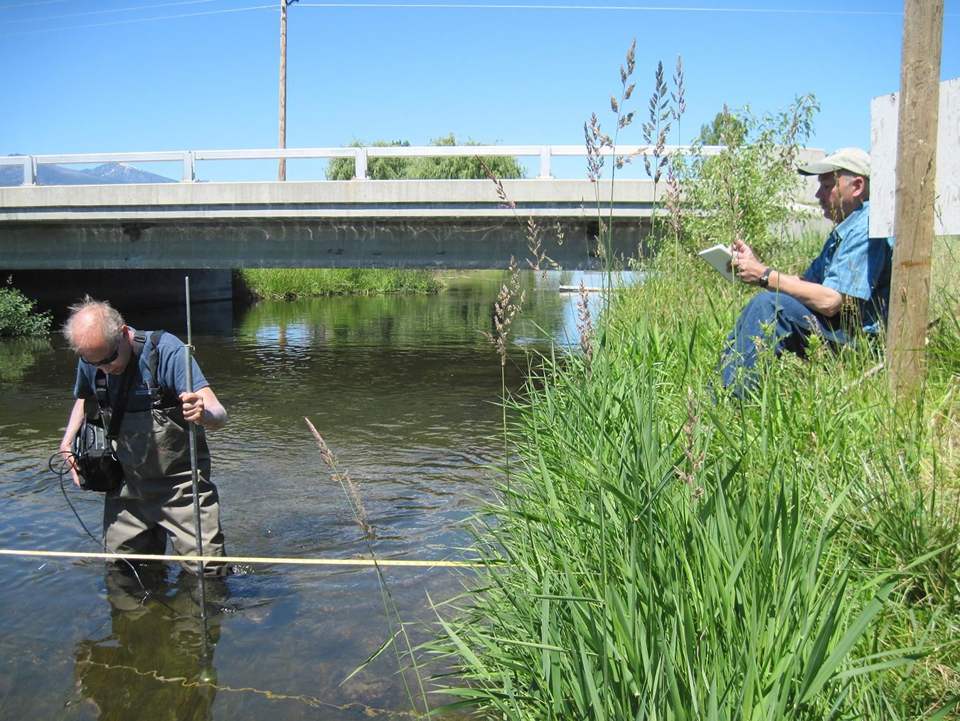
Water levels were monitored in 60 wells, and stages and flows were measured at 36 surface-water sites from April 2012 through April 2013. Water chemistry samples were collected to provide information on aquifer characteristics. Water-budget estimates were developed for major components contributing to groundwater recharge and discharge in the study area. A numerical groundwater flow model was developed to simulate the effect on groundwater and surface water from changes to irrigation practices. These changes included the effects of placing high-capacity pumping wells along the East Channel and the effect of individual irrigation wells to replace surface-water diversions.
Project Status
An interpretive report, with a chapter describing the groundwater model, is in review. The results and products include a groundwater surface map, water-quality data, water-budget estimates, a calibrated numerical groundwater model, and the groundwater and surface-water data collected during this project.
Results
Groundwater modeling results suggest that from a physical standpoint it is feasible to use groundwater to supplement or replace surface-water irrigation. The scenario that least affected irrigation return flows to Mitchell Slough involves converting lands that are currently irrigated with sprinkler or pivot irrigation systems to groundwater sources.
Modeling indicated that if flood irrigation was converted to sprinkler or pivot irrigation, and all irrigated fields were supplied by groundwater, the volume of water diverted to fields would be reduced, but so would irrigation returns to Mitchell Slough.
Project Reports
- Hydrogeologic investigation of the Stevensville study area, Ravalli County, Montana: Interpretive report (Waren, K., Myse, T., Snyder, D., and Abdo, G., 2020)
View in Catalog
Download Steady-State models (zip file) (26.2 MB)
Download Transient 10 year model files (zip file) (82 MB)
Download 13 month model files (zip file) (180.4 MB)
Download text report (58.9 MB)
Presentations
- Investigating Groundwater and Surface-water Interactions Using Stable Water Isotopes in the Bitterroot Valley, Montana. Todd Myse, Bitterroot College, Hamilton, MT, April 28, 2017.
View Presentation - Groundwater Models to Evaluate Changes in Irrigation Practices – Stevensville GWIP Area, Ravalli County, Montana. Kirk Waren, Bitterroot College, Hamilton, MT, April 28, 2017.
View Presentation
Link to Project Data
Data collected for this project can be accessed through the Ground Water Information Center (GWIC) database:
Download project data from GWIC
Program Resources
Contact Information
Program Information
Ginette Abdo, GWIP Manager
(406) 496-4152 | Email