Upper Jefferson River, Jefferson County
Background
The Upper Jefferson River is critically dewatered. Montana Fish Wildlife and Parks closes the Upper Jefferson to fishing more than any other river in Montana (Jefferson River Watershed Committee, 2010). In 1988, streamflow was as low as 4 cubic feet per second, and in 1992 and 1994 flows fell below 20 cfs.
Previous studies have shown that groundwater inflow to the Jefferson River and spring-fed tributaries near Waterloo provides an important source of cool water in the late summer. These groundwater sources are fed in part by irrigation canal leakage, and infiltration of irrigation water in fields. Therefore, changes in irrigation practices, such as lining canals or changing from flood to pivot irrigation, have the potential to decrease groundwater flow to the Jefferson River.
New housing developments, with exempt wells being used for a water supply, are also being constructed in the Jefferson Valley. As such, residents are concerned about potential impacts to flows in the Jefferson River and Jefferson Slough as a result of increased groundwater development.
Purpose
The Upper Jefferson GWIP investigation focuses on (1) the potential for changes in irrigation practices in the Waterloo area to affect the amount of groundwater discharge to Parson’s Slough, Willow Springs, and the Jefferson River; and (2) the potential for increased groundwater development in the Whitehall area to affect groundwater discharge to the Jefferson River and the Jefferson Slough.
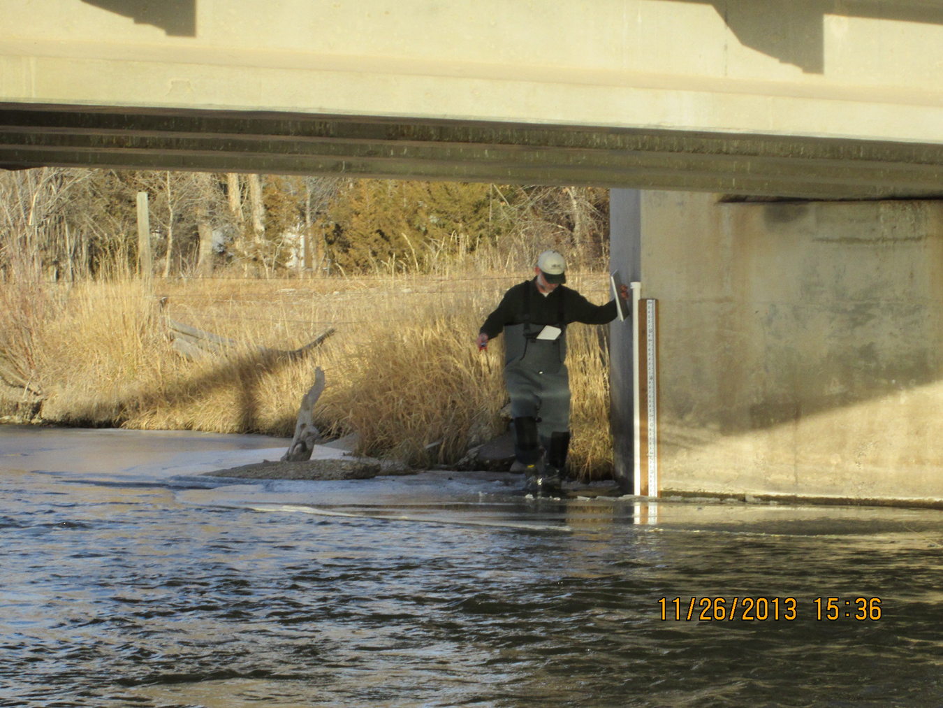
Project Scope
A network of 106 wells and 53 surface-water sites were monitored from July 2013 to May 2015 to obtain groundwater level, flow, stage, and water-quality information. Most water-quality samples were collected as part of a synoptic water-quality sampling event in August 2014; however some samples were also collected in November 2014, January 2015, and March 2015. Twenty groundwater monitoring wells were drilled and five aquifer tests provided information on aquifer properties. A water budget was developed and field observations provided input to construct and calibrate two groundwater flow models for the Waterloo and Whitehall areas. These models were used to test the effects of changing irrigation practices and residential development on groundwater and surface water.
Results
The groundwater in the Upper Jefferson study area is dominantly recharged from surface waters, and the dominant discharge for groundwater is to surface waters. This shows that the groundwater and surface water in this area are a single resource and they must be managed conjunctively. Changes in irrigation practices affect groundwater recharge, and the subsequent discharge of that groundwater to surface waters. Efforts to increase irrigation efficiency may have unintended consequences on the discharge of groundwater to surface waters in the late summer. Changes in irrigation management practices have a greater potential to affect groundwater resources than residential development.
Project Reports
- Information Pamphlet – Groundwater/surface-water study in the Upper Jefferson Valley, Montana: Modeling the effects of changing irrigation practices and increased residential development on low streamflows (Bobst, A., Gebril, A., and Dohman, J., 2023)
View Report - Hydrologic investigation of the Upper Jefferson River Valley, Montana: Whitehall groundwater modeling report (Gebril, A.F., and Bobst, A.L., 2020)
View in Catalog - Aquifer tests in the Upper Jefferson Valley (Bobst, A.L., and Gebril, A.F., 2020)
View in Catalog - Hydrogeologic investigation of the Upper Jefferson River Valley, Madison and Jefferson Counties, Montana: Waterloo groundwater modeling report (Gebril, A.F., and Bobst, A.L., 2021)
View in Catalog - Hydrogeologic investigation of the Upper Jefferson Valley, Montana--Interpretive report (Bobst, A.L., and Gebril, A.F., 2021)
View in Catalog
Download report (44 MB)
Download Model Files (Scenario 1) (76 MB)
Download Model Files (Scenario 2) (76 MB)
Download Model Files (Scenario 3) (76 MB)
Download Model Files (Scenario 4) (28 MB)
Download Model Files (Scenario 5) (76 MB)
Download Model Files (Scenario 6) (76 MB)
Download Model Files (Scenario 7) (551 MB)
Download Model Files (Scenario Base) (80 MB)
Download Model Files (Steady State) (54 MB)
Download Model Files (Transient) (59 MB)
Download report (12.7 MB)
Download report (8 MB)
Download report (51 MB)
Presentations
- An Overview of the Upper Jefferson Groundwater Investigation
View Presentation - An Update on the Upper Jefferson Groundwater Investigation. Handout for the Jefferson River Watershed Council, August 4, 2016.
View Presentation - Upper Jefferson Groundwater Investigation. Presentation at the Jefferson River Watershed Council Annual Meeting, November 20, 2014.
View Presentation
Link to Project Data
Data collected for this project can be accessed through the Ground Water Information Center (GWIC) database:
Download project data from GWIC
Program Resources
Contact Information
Program Information
Ginette Abdo, GWIP Manager
(406) 496-4152 | Email