Wisdom - Managed Aquifer Recharge, Beaverhead County
Background
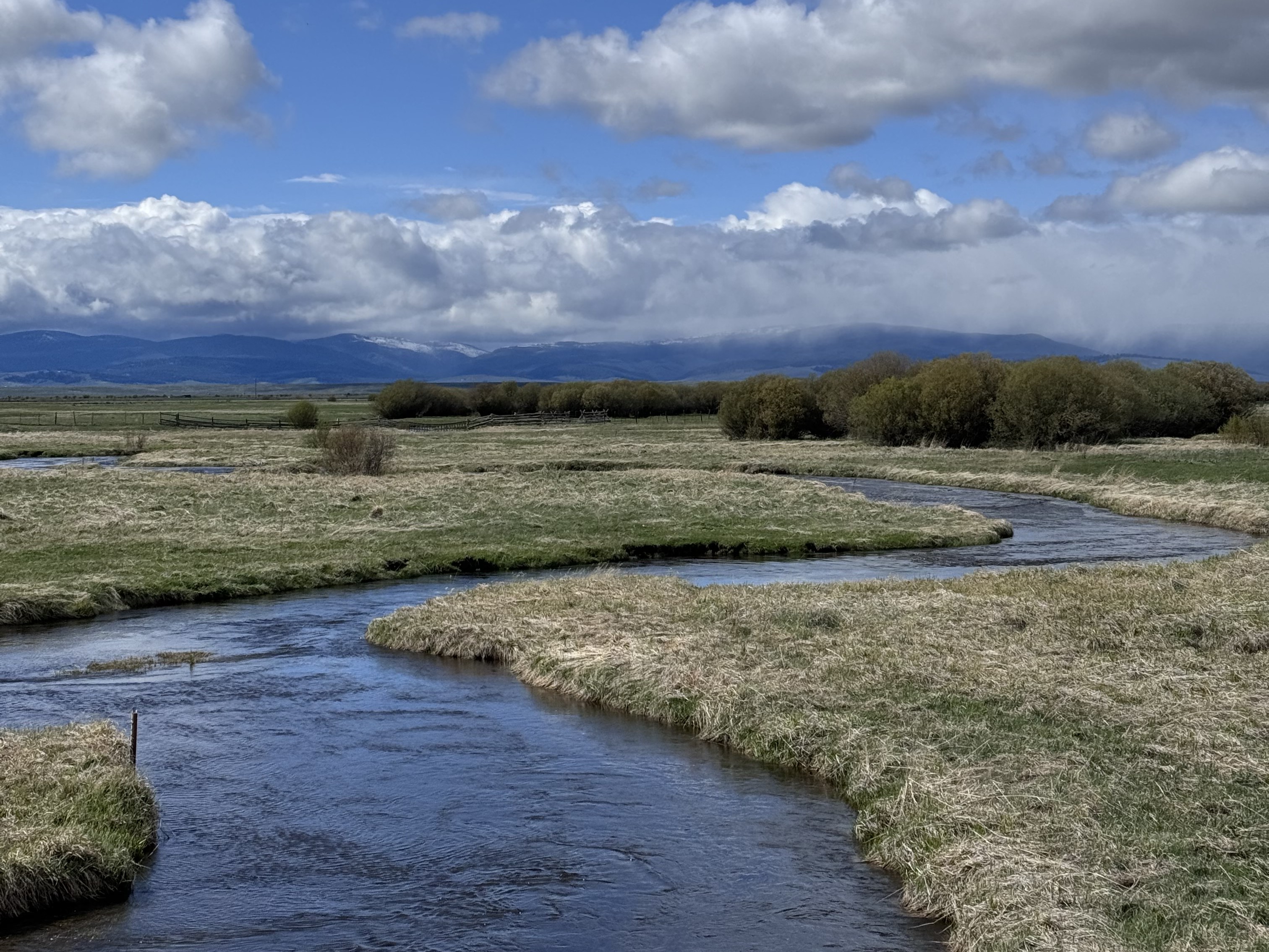
The Big Hole River is critical to agriculture, recreation, and fisheries in the Upper Big Hole Valley. The Big Hole drought management plan has established 20 cubic feet per second (cfs) as the minimum conservation flow in the Big Hole River at the USGS stream flow gage at Wisdom; however, flows have dipped into the single digits each year from 2021-2024. Stream flow has dropped below the 20 cfs target in 25 of the 37 monitored years (1988-2024).
Managed aquifer recharge (MAR) provides a means to supplement water supplies by storing it when it is plentiful, and recovering the water during times of need. The two primary approaches to MAR are surface infiltration and using wells for aquifer storage and recovery (ASR). Surface infiltration is typically accomplished by using infiltration basins, or allowing water to infiltrate through canals or over fields prior to the growing season. ASR wells inject and extract water directly to/from the aquifer. A key consideration with MAR is if aquifers with appropriate properties are present.
Purpose
This project will investigate the feasibility of using MAR in an area near Wisdom, MT, to increase low flows in the Big Hole River by at least 5 cfs when flows drop below 20 cfs.
Project Scope
- To evaluate potential MAR source waters, we will monitor flows and water quality in major surface waters.
- To evaluate the local potential for surface infiltration we will develop detailed information on the distribution of geologic units, soil properties, depth to groundwater, and other factors, and combine these in a GIS based suitability analysis.
- To evaluate the potential to use ASR wells near Wisdom we will drill exploration wells near the Big Hole River to determine if aquifers with ASR potential exist. If so, we will:
- Collect samples of aquifer materials for geochemical analysis
- Collect samples of groundwater for geochemical analysis
- Evaluate the geochemical compatibility of potential source waters with the aquifer materials and native groundwater.
- Install a pumping well and monitoring wells, and conduct an aquifer test at the most promising site.
Project Status
We are monitoring surface-water and groundwater networks. Exploration drilling for ASR has been completed and the potential for ASR wells has been confirmed; we are evaluating which site is the most promising. Our next major task will be to install pumping and monitoring wells at the most promising site. The GIS analysis for surface infiltration suitability is underway.
Project Reports
- Wisdom MAR Factsheet
View Report
Project Personnel
| Andy Bobst | Project Lead, Research Hydrogeologist |
| Ann Hanson | Assistant Research Hydrogeologist |
Presentations
We have no presentations regarding this project for you to view at this time.Link to Project Data
Data collected for this project can be accessed through the Ground Water Information Center (GWIC) database:
Download project data from GWIC
Program Resources
Contact Information
Program Information
Ginette Abdo, GWIP Manager
(406) 496-4152 | Email