
COMPOUND OBJECT (6 Items)
Diamond Item Info
O29 Vol. 1 Diamond...
Diamond
-
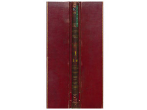
Item 1 of 6

- Title:
- O29 Vol. 1 Diamond
- Includes Sill(s):
- 35, 40, 100, 150, 200, 250, 300, 350, 400, 500, 600, 5967, 5900, 5833, 5767, 5700, 5633
- Mine Name(s):
- Diamond Parnell High Ore LER Kelley St. Lawrence Mountain View Berkeley Pit
- Volume:
- 1
- Sill Range:
- Surface - 5633
- Township:
- 03N
- Range:
- 07W
- Section:
- 7
- Latitude:
- 46.020147
- Longitude:
- -112.524008
- Source:
- Butte Silver Bow Public Archives
- Type:
- Image;StillImage
- Format:
- application/pdf
Source
- Preferred Citation:
- "O29 Vol. 1 Diamond", Butte Stope Books, Montana Bureau of Mines and Geology
- Reference Link:
- /Information/Collections/Butte-Stope-Books/items/bsb119.html#bsb120
Rights
- Rights:
- In Copyright - Educational Use Permitted.
- Standardized Rights:
- http://rightsstatements.org/vocab/InC-EDU/1.0/
O29 Vol. 2 Diamond...
Diamond
-
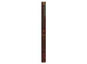
Item 2 of 6
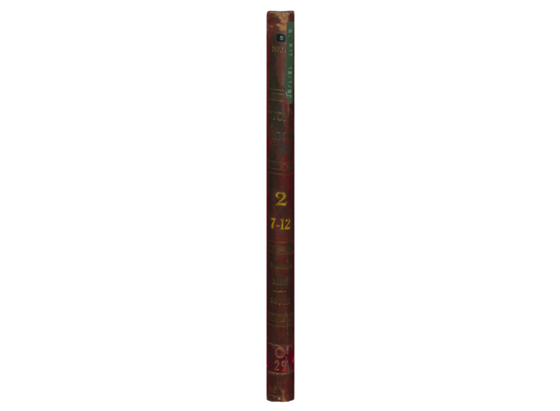
- Title:
- O29 Vol. 2 Diamond
- Includes Sill(s):
- 400, 500, 600, 700, 800, 900, 1000, 1150, 1200
- Mine Name(s):
- Diamond Kelley St. Lawrence Parnell Nipper LER Bell
- Volume:
- 2
- Sill Range:
- 700 - 1200
- Township:
- 03N
- Range:
- 07W
- Section:
- 7
- Latitude:
- 46.020147
- Longitude:
- -112.523756
- Source:
- Butte Silver Bow Public Archives
- Type:
- Image;StillImage
- Format:
- application/pdf
Source
- Preferred Citation:
- "O29 Vol. 2 Diamond", Butte Stope Books, Montana Bureau of Mines and Geology
- Reference Link:
- /Information/Collections/Butte-Stope-Books/items/bsb119.html#bsb121
Rights
- Rights:
- In Copyright - Educational Use Permitted.
- Standardized Rights:
- http://rightsstatements.org/vocab/InC-EDU/1.0/
O29 Vol. 4 Diamond...
Diamond
-
Item 3 of 6
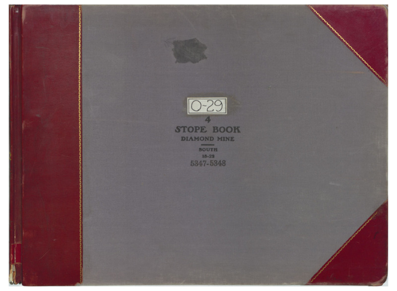
- Title:
- O29 Vol. 4 Diamond
- Includes Sill(s):
- 1800, 1900, 2000, 2100, 2200
- Mine Name(s):
- Diamond High Ore Kelley Mountain Consolidated Mountain View
- Volume:
- 4
- Sill Range:
- 1800 - 2200
- Township:
- 03N
- Range:
- 07W
- Section:
- 7
- Latitude:
- 46.020147
- Longitude:
- -112.52401
- Source:
- Butte Silver Bow Public Archives
- Type:
- Image;StillImage
- Format:
- application/pdf
Source
- Preferred Citation:
- "O29 Vol. 4 Diamond", Butte Stope Books, Montana Bureau of Mines and Geology
- Reference Link:
- /Information/Collections/Butte-Stope-Books/items/bsb119.html#bsb122
Rights
- Rights:
- In Copyright - Educational Use Permitted.
- Standardized Rights:
- http://rightsstatements.org/vocab/InC-EDU/1.0/
O29 Vol. 5 Diamond...
Diamond
-
Item 4 of 6
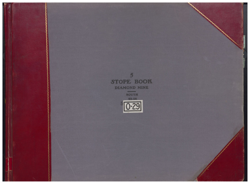
- Title:
- O29 Vol. 5 Diamond
- Includes Sill(s):
- 2300, 2400, 2500, 2600, 2700, 2800
- Mine Name(s):
- Diamond Kelley High Ore Mountain View Anaconda Belmont
- Volume:
- 5
- Sill Range:
- 2300 - 2800
- Township:
- 03N
- Range:
- 07W
- Section:
- 7
- Latitude:
- 46.020147
- Longitude:
- -112.52401
- Source:
- Butte Silver Bow Public Archives
- Type:
- Image;StillImage
- Format:
- application/pdf
Source
- Preferred Citation:
- "O29 Vol. 5 Diamond", Butte Stope Books, Montana Bureau of Mines and Geology
- Reference Link:
- /Information/Collections/Butte-Stope-Books/items/bsb119.html#bsb123
Rights
- Rights:
- In Copyright - Educational Use Permitted.
- Standardized Rights:
- http://rightsstatements.org/vocab/InC-EDU/1.0/
O29 Vol.6 Diamond

Diamond
-
Item 5 of 6
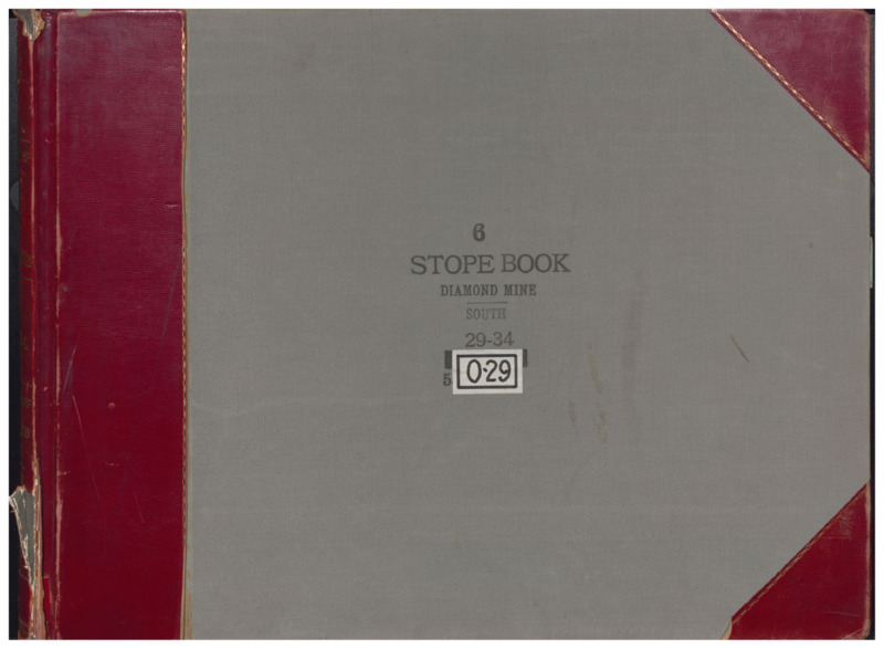
- Title:
- O29 Vol.6 Diamond
- Includes Sill(s):
- 2900, 3000, 3100, 3200, 3300, 3400
- Mine Name(s):
- Diamond Kelley Belmont High Ore Steward Mountain Consolidated
- Volume:
- 6
- Sill Range:
- 2900 - 3400
- Township:
- 03N
- Range:
- 07W
- Section:
- 7
- Latitude:
- 46.020147
- Longitude:
- -112.52401
- Source:
- Butte Silver Bow Public Archives
- Type:
- Image;StillImage
- Format:
- application/pdf
Source
- Preferred Citation:
- "O29 Vol.6 Diamond", Butte Stope Books, Montana Bureau of Mines and Geology
- Reference Link:
- /Information/Collections/Butte-Stope-Books/items/bsb119.html#bsb124
Rights
- Rights:
- In Copyright - Educational Use Permitted.
- Standardized Rights:
- http://rightsstatements.org/vocab/InC-EDU/1.0/
O29 Vol. 7 Diamond...

Diamond
-
Item 6 of 6
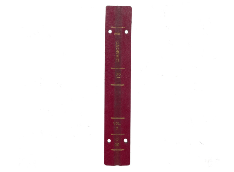
- Title:
- O29 Vol. 7 Diamond
- Includes Sill(s):
- 3500, 3600, 3800, 3900, 3970, 4000, 4100, 4200, 4400, 4500, 4600, 4700
- Mine Name(s):
- High Ore Mountain Consolidated Kelley
- Volume:
- 7
- Sill Range:
- 3500
- Township:
- 03N
- Range:
- 07W
- Section:
- 7
- Latitude:
- 46.020147
- Longitude:
- -112.52401
- Source:
- Butte Silver Bow Public Archives
- Type:
- Image;StillImage
- Format:
- application/pdf
Source
- Preferred Citation:
- "O29 Vol. 7 Diamond", Butte Stope Books, Montana Bureau of Mines and Geology
- Reference Link:
- /Information/Collections/Butte-Stope-Books/items/bsb119.html#bsb125
Rights
- Rights:
- In Copyright - Educational Use Permitted.
- Standardized Rights:
- http://rightsstatements.org/vocab/InC-EDU/1.0/
- Title:
- Diamond
- Township:
- 03N
- Range:
- 07W
- Section:
- 7
- Latitude:
- 46.020147
- Longitude:
- -112.524008
- Type:
- record
- Format:
- compound_object
Source
- Preferred Citation:
- "Diamond", Butte Stope Books, Montana Bureau of Mines and Geology
- Reference Link:
- /Information/Collections/Butte-Stope-Books/items/bsb119.html