
COMPOUND OBJECT (8 Items)
Mountain Consolidated/Steward Item Info
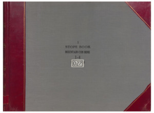
O27 Vol. 1 Mountain...
Mountain Consolidated/Steward
-
Item 1 of 8
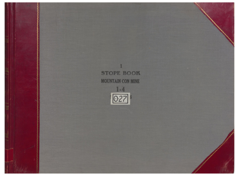
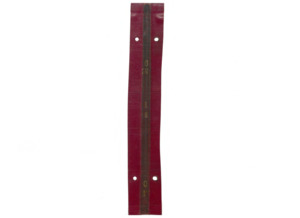
- Title:
- O27 Vol. 1 Mountain Consolidated/Steward
- Includes Sill(s):
- Collar, 35, 50, 85, 100, 115, 150, 175, 200, 300, 400
- Mine Name(s):
- Kelley Little Mina Winlass Silver Hill Clear Grit East Mina
- Volume:
- 1
- Sill Range:
- 100 - 400
- Township:
- 03N
- Range:
- 08W
- Section:
- 12
- Latitude:
- 46.020147
- Longitude:
- -112.532457
- Source:
- Butte Silver Bow Public Archives
- Type:
- Image;StillImage
- Format:
- application/pdf
Source
- Preferred Citation:
- "O27 Vol. 1 Mountain Consolidated/Steward", Butte Stope Books, Montana Bureau of Mines and Geology
- Reference Link:
- /Information/Collections/Butte-Stope-Books/items/bsb110.html#bsb111
Rights
- Rights:
- In Copyright - Educational Use Permitted.
- Standardized Rights:
- http://rightsstatements.org/vocab/InC-EDU/1.0/
O27 Vol. 2 Mountain...

Mountain Consolidated/Steward
-
Item 2 of 8
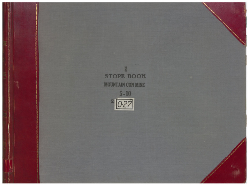
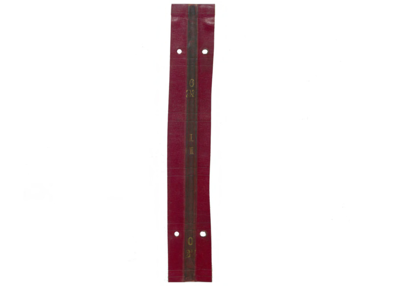
- Title:
- O27 Vol. 2 Mountain Consolidated
- Includes Sill(s):
- 400, 500, 600, 700, 800, 1000, 1100
- Mine Name(s):
- Little Mina Clear Grit Kelley Mountain Consolidated
- Volume:
- 2
- Sill Range:
- 500 - 1000
- Township:
- 03N
- Range:
- 08W
- Section:
- 12
- Latitude:
- 46.020147
- Longitude:
- -112.532457
- Source:
- Butte Silver Bow Public Archives
- Type:
- Image;StillImage
- Format:
- application/pdf
Source
- Preferred Citation:
- "O27 Vol. 2 Mountain Consolidated", Butte Stope Books, Montana Bureau of Mines and Geology
- Reference Link:
- /Information/Collections/Butte-Stope-Books/items/bsb110.html#bsb112
Rights
- Rights:
- In Copyright - Educational Use Permitted.
- Standardized Rights:
- http://rightsstatements.org/vocab/InC-EDU/1.0/
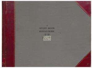
O27 Vol. 3 Mountain...
Mountain Consolidated/Steward
-
Item 3 of 8
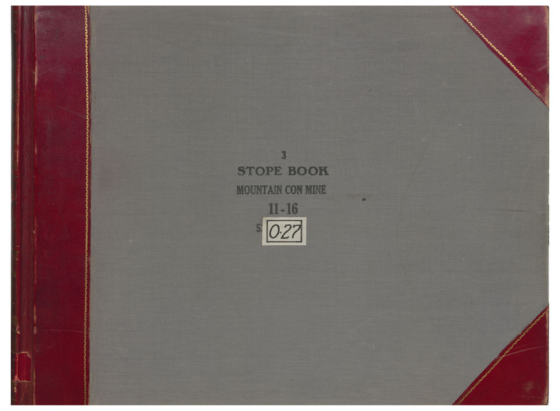
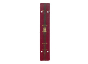
- Title:
- O27 Vol. 3 Mountain Consolidated
- Includes Sill(s):
- 900, 1000, 1100, 1200, 1300, 1500, 1600, 1700, 1800
- Mine Name(s):
- Little Mina Kelley Steward Mountain Consolidated Diamond
- Volume:
- 3
- Sill Range:
- 1100 - 1600
- Township:
- 03N
- Range:
- 08W
- Section:
- 12
- Latitude:
- 46.020147
- Longitude:
- -112.532457
- Source:
- Butte Silver Bow Public Archives
- Type:
- Image;StillImage
- Format:
- application/pdf
Source
- Preferred Citation:
- "O27 Vol. 3 Mountain Consolidated", Butte Stope Books, Montana Bureau of Mines and Geology
- Reference Link:
- /Information/Collections/Butte-Stope-Books/items/bsb110.html#bsb113
Rights
- Rights:
- In Copyright - Educational Use Permitted.
- Standardized Rights:
- http://rightsstatements.org/vocab/InC-EDU/1.0/
O27 Vol. 4 Mountain...

Mountain Consolidated/Steward
-
Item 4 of 8
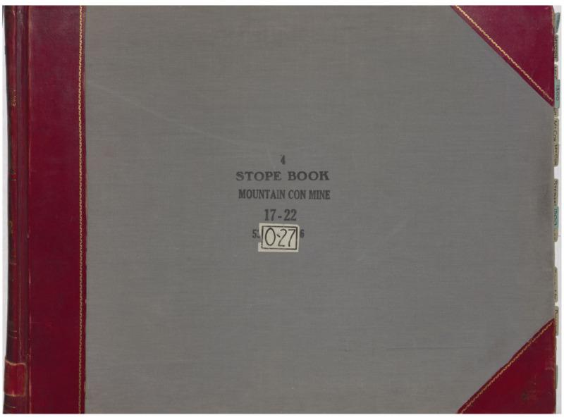
- Title:
- O27 Vol. 4 Mountain Consolidated
- Includes Sill(s):
- 1300, 1400, 1500, 1600, 1700, 1800, 1900, 2000, 2100, 2200
- Mine Name(s):
- Mountain Consolidated Diamond Kelley Green Mountain
- Volume:
- 4
- Sill Range:
- 1100 - 1600
- Township:
- 03N
- Range:
- 08W
- Section:
- 12
- Latitude:
- 46.020147
- Longitude:
- -112.532457
- Source:
- Butte Silver Bow Public Archives
- Type:
- Image;StillImage
- Format:
- application/pdf
Source
- Preferred Citation:
- "O27 Vol. 4 Mountain Consolidated", Butte Stope Books, Montana Bureau of Mines and Geology
- Reference Link:
- /Information/Collections/Butte-Stope-Books/items/bsb110.html#bsb114
Rights
- Rights:
- In Copyright - Educational Use Permitted.
- Standardized Rights:
- http://rightsstatements.org/vocab/InC-EDU/1.0/
O27 Vol. 5 Mountain...
Mountain Consolidated/Steward
-
Item 5 of 8
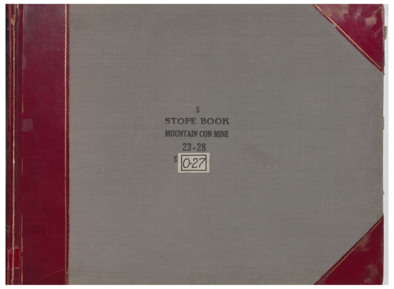
- Title:
- O27 Vol. 5 Mountain Consolidated
- Includes Sill(s):
- 1800, 1900, 2000, 2100, 2200, 2300, 2400, 2500, 2600, 2800
- Mine Name(s):
- Steward Mountain Consolidated Kelley Neversweat High Ore Original
- Volume:
- 5
- Sill Range:
- 2300 - 2800
- Township:
- 03N
- Range:
- 08W
- Section:
- 12
- Latitude:
- 46.020147
- Longitude:
- -112.532457
- Source:
- Butte Silver Bow Public Archives
- Type:
- Image;StillImage
- Format:
- application/pdf
Source
- Preferred Citation:
- "O27 Vol. 5 Mountain Consolidated", Butte Stope Books, Montana Bureau of Mines and Geology
- Reference Link:
- /Information/Collections/Butte-Stope-Books/items/bsb110.html#bsb115
Rights
- Rights:
- In Copyright - Educational Use Permitted.
- Standardized Rights:
- http://rightsstatements.org/vocab/InC-EDU/1.0/
O27 Vol. 6 Mountain...
Mountain Consolidated/Steward
-
Item 6 of 8
- Title:
- O27 Vol. 6 Mountain Consolidated
- Includes Sill(s):
- 2900, 3000, 3100, 3200, 3300, 3400, 3500, 3600, 3800
- Mine Name(s):
- Mountain Consolidated Steward Kelley
- Volume:
- 6
- Sill Range:
- 2900 - 3600
- Township:
- 03N
- Range:
- 08W
- Section:
- 12
- Latitude:
- 46.020147
- Longitude:
- -112.532457
- Source:
- Butte Silver Bow Public Archives
- Type:
- Image;StillImage
- Format:
- application/pdf
Source
- Preferred Citation:
- "O27 Vol. 6 Mountain Consolidated", Butte Stope Books, Montana Bureau of Mines and Geology
- Reference Link:
- /Information/Collections/Butte-Stope-Books/items/bsb110.html#bsb116
Rights
- Rights:
- In Copyright - Educational Use Permitted.
- Standardized Rights:
- http://rightsstatements.org/vocab/InC-EDU/1.0/
O27 Vol. 7 Mountain...
Mountain Consolidated/Steward
-
Item 7 of 8
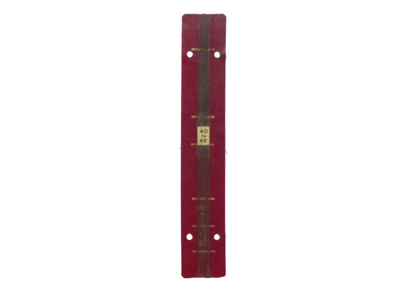
- Title:
- O27 Vol. 7 Mountain Consolidated
- Includes Sill(s):
- 4000, 4100, 4200, 4400, 4500, 4600
- Mine Name(s):
- Mountain Consolidated
- Volume:
- 7
- Sill Range:
- 4000 - 4500
- Township:
- 03N
- Range:
- 08W
- Section:
- 12
- Latitude:
- 46.020147
- Longitude:
- -112.532457
- Source:
- Butte Silver Bow Public Archives
- Type:
- Image;StillImage
- Format:
- application/pdf
Source
- Preferred Citation:
- "O27 Vol. 7 Mountain Consolidated", Butte Stope Books, Montana Bureau of Mines and Geology
- Reference Link:
- /Information/Collections/Butte-Stope-Books/items/bsb110.html#bsb117
Rights
- Rights:
- In Copyright - Educational Use Permitted.
- Standardized Rights:
- http://rightsstatements.org/vocab/InC-EDU/1.0/
O27 Vol. 8 Mountain...
Mountain Consolidated/Steward
-
Item 8 of 8
- Title:
- O27 Vol. 8 Mountain Consolidated
- Includes Sill(s):
- 4400, 4500, 4600, 4700
- Mine Name(s):
- Mountain Consolidated Kelley
- Volume:
- 8
- Sill Range:
- 4400
- Township:
- 03N
- Range:
- 08W
- Section:
- 12
- Latitude:
- 46.020147
- Longitude:
- -112.532457
- Source:
- Butte Silver Bow Public Archives
- Type:
- Image;StillImage
- Format:
- application/pdf
Source
- Preferred Citation:
- "O27 Vol. 8 Mountain Consolidated", Butte Stope Books, Montana Bureau of Mines and Geology
- Reference Link:
- /Information/Collections/Butte-Stope-Books/items/bsb110.html#bsb118
Rights
- Rights:
- In Copyright - Educational Use Permitted.
- Standardized Rights:
- http://rightsstatements.org/vocab/InC-EDU/1.0/
- Title:
- Mountain Consolidated/Steward
- Township:
- 03N
- Range:
- 08W
- Section:
- 12
- Latitude:
- 46.020147
- Longitude:
- -112.532457
- Type:
- record
- Format:
- compound_object
Source
- Preferred Citation:
- "Mountain Consolidated/Steward", Butte Stope Books, Montana Bureau of Mines and Geology
- Reference Link:
- /Information/Collections/Butte-Stope-Books/items/bsb110.html