
COMPOUND OBJECT (5 Items)
Gray Rock/Diamond - North Item Info
R29 Vol. 3 Gray...

Gray Rock/Diamond - North
-
Item 1 of 5
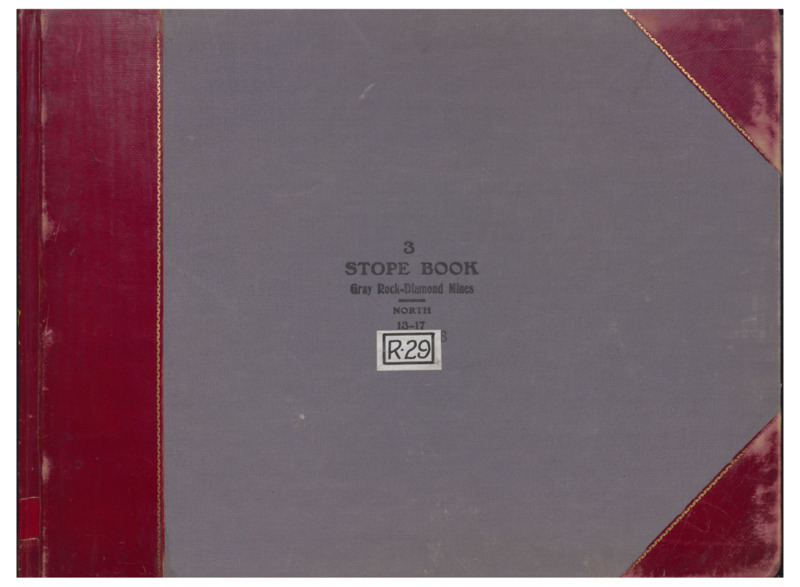
- Title:
- R29 Vol. 3 Gray Rock/Diamond North
- Includes Sill(s):
- 700, 800, 900, 1000, 1100, 1700
- Mine Name(s):
- Gray Rock Diamond Corra West Gray Rock East Gray Rock Speculator
- Volume:
- 3
- Sill Range:
- 1300 - 1700
- Township:
- 03N
- Range:
- 07W
- Section:
- 7
- Latitude:
- 46.026689
- Longitude:
- -112.524
- Source:
- Butte Silver Bow Public Archives
- Type:
- Image;StillImage
- Format:
- application/pdf
Source
- Preferred Citation:
- "R29 Vol. 3 Gray Rock/Diamond North", Butte Stope Books, Montana Bureau of Mines and Geology
- Reference Link:
- /Information/Collections/Butte-Stope-Books/items/bsb173.html#bsb174
Rights
- Rights:
- In Copyright - Educational Use Permitted.
- Standardized Rights:
- http://rightsstatements.org/vocab/InC-EDU/1.0/
R29 Vol. 4 Gray...
Gray Rock/Diamond - North
-
Item 2 of 5
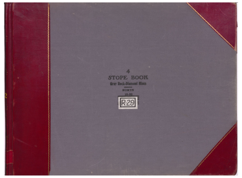
- Title:
- R29 Vol. 4 Gray Rock/Diamond North
- Includes Sill(s):
- 1800, 1900, 2000, 2100, 2200
- Mine Name(s):
- Gray Rock Diamond Corra West Gray Rock Speculator
- Volume:
- 4
- Sill Range:
- 1800 - 2200
- Township:
- 03N
- Range:
- 07W
- Section:
- 7
- Latitude:
- 46.026689
- Longitude:
- -112.524
- Source:
- Butte Silver Bow Public Archives
- Type:
- Image;StillImage
- Format:
- application/pdf
Source
- Preferred Citation:
- "R29 Vol. 4 Gray Rock/Diamond North", Butte Stope Books, Montana Bureau of Mines and Geology
- Reference Link:
- /Information/Collections/Butte-Stope-Books/items/bsb173.html#bsb175
Rights
- Rights:
- In Copyright - Educational Use Permitted.
- Standardized Rights:
- http://rightsstatements.org/vocab/InC-EDU/1.0/
R29 Vol. 5 Diamond/Badger...
Gray Rock/Diamond - North
-
Item 3 of 5
- Title:
- R29 Vol. 5 Diamond/Badger State/Mountain Consolidated
- Includes Sill(s):
- 2300, 1900, 2000, 2100, 2800
- Mine Name(s):
- Diamond Badger State Mountain Consolidated Speculator
- Volume:
- 5
- Sill Range:
- 2300 - 2800
- Township:
- 03N
- Range:
- 07W
- Section:
- 7
- Latitude:
- 46.026689
- Longitude:
- -112.524
- Source:
- Butte Silver Bow Public Archives
- Type:
- Image;StillImage
- Format:
- application/pdf
Source
- Preferred Citation:
- "R29 Vol. 5 Diamond/Badger State/Mountain Consolidated", Butte Stope Books, Montana Bureau of Mines and Geology
- Reference Link:
- /Information/Collections/Butte-Stope-Books/items/bsb173.html#bsb176
Rights
- Rights:
- In Copyright - Educational Use Permitted.
- Standardized Rights:
- http://rightsstatements.org/vocab/InC-EDU/1.0/
R29 Vol. 6 Gray...
Gray Rock/Diamond - North
-
Item 4 of 5
- Title:
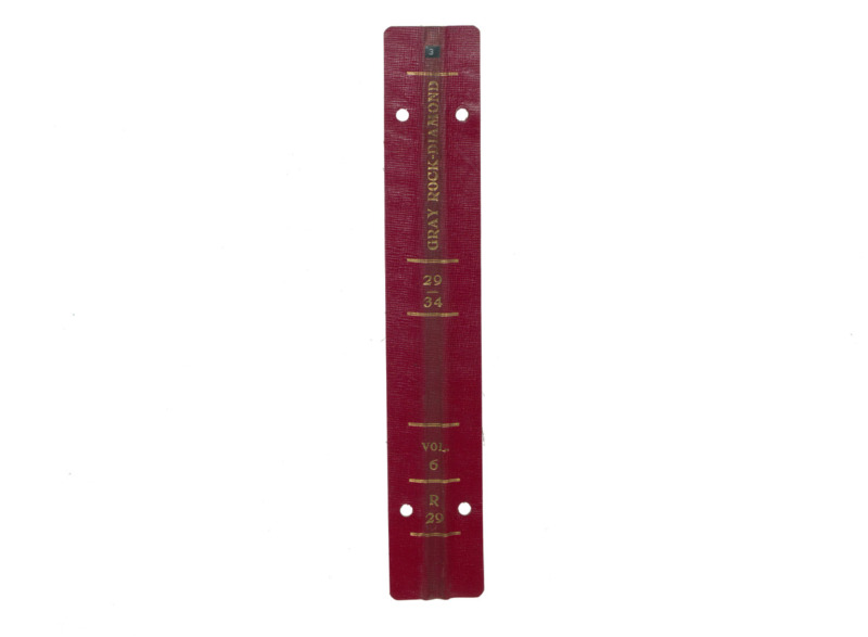
- R29 Vol. 6 Gray Rock/Diamond
- Includes Sill(s):
- 3000, 3200, 3400, 3600
- Mine Name(s):
- Badger State Diamond Speculator Granite Mountain Mountain Consolidated
- Volume:
- 6
- Sill Range:
- 2900 - 3400
- Township:
- 03N
- Range:
- 07W
- Section:
- 7
- Latitude:
- 46.026689
- Longitude:
- -112.524
- Source:
- Butte Silver Bow Public Archives
- Type:
- Image;StillImage
- Format:
- application/pdf
Source
- Preferred Citation:
- "R29 Vol. 6 Gray Rock/Diamond", Butte Stope Books, Montana Bureau of Mines and Geology
- Reference Link:
- /Information/Collections/Butte-Stope-Books/items/bsb173.html#bsb177
Rights
- Rights:
- In Copyright - Educational Use Permitted.
- Standardized Rights:
- http://rightsstatements.org/vocab/InC-EDU/1.0/
R29 Vol. 7 Gray...
Gray Rock/Diamond - North
-
Item 5 of 5
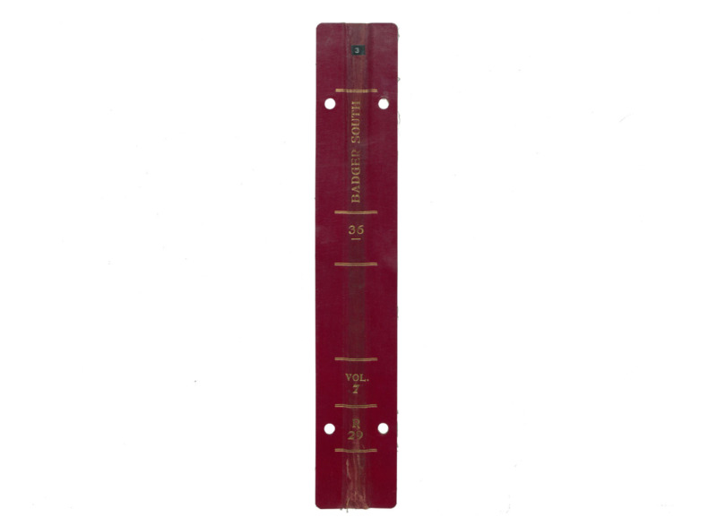
- Title:
- R29 Vol. 7 Gray Rock/Diamond
- Includes Sill(s):
- 3600, 3800, 3900, 4100, 4500
- Mine Name(s):
- Badger State Speculator Mountain Consolidated
- Volume:
- 7
- Sill Range:
- 3600 - 4500
- Township:
- 03N
- Range:
- 07W
- Section:
- 7
- Latitude:
- 46.026689
- Longitude:
- -112.524
- Source:
- Butte Silver Bow Public Archives
- Type:
- Image;StillImage
- Format:
- application/pdf
Source
- Preferred Citation:
- "R29 Vol. 7 Gray Rock/Diamond", Butte Stope Books, Montana Bureau of Mines and Geology
- Reference Link:
- /Information/Collections/Butte-Stope-Books/items/bsb173.html#bsb178
Rights
- Rights:
- In Copyright - Educational Use Permitted.
- Standardized Rights:
- http://rightsstatements.org/vocab/InC-EDU/1.0/
- Title:
- Gray Rock/Diamond - North
- Township:
- 03N
- Range:
- 07W
- Section:
- 7
- Latitude:
- 46.026689
- Longitude:
- -112.524
- Type:
- record
- Format:
- compound_object
Source
- Preferred Citation:
- "Gray Rock/Diamond - North", Butte Stope Books, Montana Bureau of Mines and Geology
- Reference Link:
- /Information/Collections/Butte-Stope-Books/items/bsb173.html