Ennis area, Madison County
Background
The west bench of Ennis is developing quickly with residential subdivisions, with domestic wells as the primary water source. Additional subdivisions will likely be proposed in this area. In much of this area, the only available aquifer is the fractured bedrock (typically Archean gneiss). Due to the low productivity of the fractured bedrock, there is concern that additional development will cause water levels in existing wells to decline. For these reasons and to help make informed management decisions, county and state entities need a better understanding of where the bedrock aquifer is located, and how productive it is likely to be. This information will help with land-use planning and permitting decisions.
Purpose
The purpose of this project is to determine the productivity of the fractured bedrock for residential water development and the groundwater connection to Eightmile Creek.
Project Scope
Existing geologic maps and water well logs will be used to determine the range of well yields in the area in order to gage the productivity of the fractured bedrock. A network of wells throughout the study area has documented how water levels change in response to irrigation and natural variations such as snowmelt. The monitoring data will be used determine the range of water production within the varying geology, which will evaluate the likely effects from different intensities of residential development on the bedrock aquifer.
Project Status
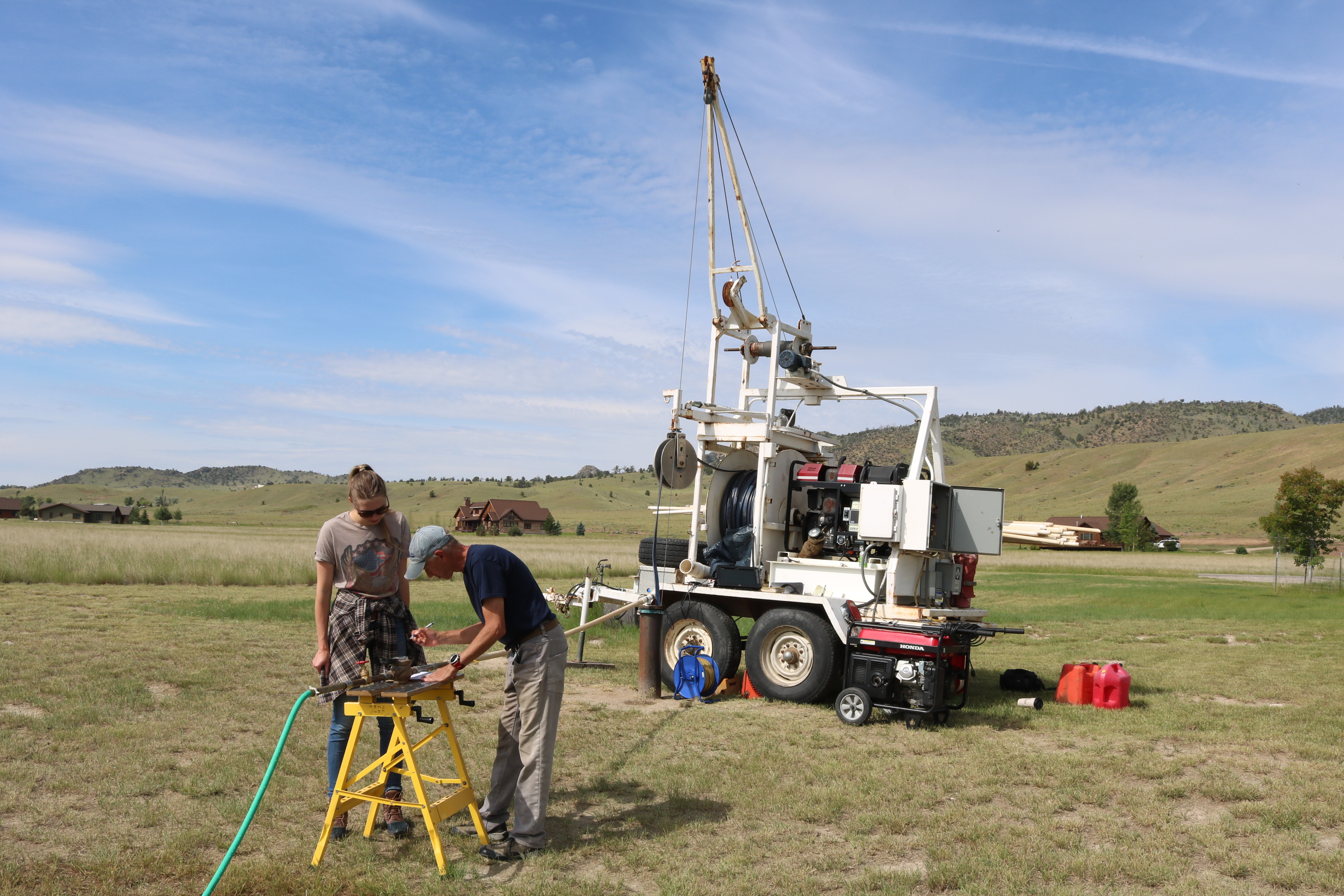
Data collection is complete. Monitoring of Eightmile Creek, residential wells, and multiple aquifer tests has documented the likely potential of water yields in the fractured bedrock aquifer and the connection to surface water.
An Interpretive Report will document the potential availability of water and the flows on Eightmile Creek.
Project Reports
- Analyses of constant-rate aquifer tests in the Quaternary-Tertiary basin-fill sediments and the Tertiary-Archean fractured bedrock near Ennis, Montana (Hanson, A.E.H. and Sutherland, M., 2024)
View Report - Ennis Fact Sheet: May 2018
View Report
Project Personnel
| Mary Sutherland | Associate Research Hydrogeologist |
Presentations
- An Overview of the Ennis Groundwater Investigation presented July 31, 2018.
View Presentation - GWIP and the Ennis Groundwater Investigation, Presented to the Madison Watershed Planning Group, April 26, 2017.
View Presentation
Link to Project Data
Data collected for this project can be accessed through the Ground Water Information Center (GWIC) database:
Download project data from GWIC
Program Resources
Contact Information
Program Information
Ginette Abdo, GWIP Manager
(406) 496-4152 | Email