Butte Mine Flooding
The Montana Bureau of Mines and Geology (MBMG) received funding from the 1983 Montana Legislature (H.B. 819) to implement a supplemental groundwater and seismic monitoring network in response to concerns about potential impacts to local property from groundwater rebound and its potential to trigger local seismic events (earthquakes) in relationship to the Anaconda Company’s suspension of mining and dewatering of the Butte underground mines. The MBMG installed a number of shallow alluvial groundwater monitoring wells and, in cooperation with the United States Geological Survey (USGS), installed stream gaging stations on Blacktail Creek and Silver Bow Creek.
The MBMG continued to participate in Superfund studies that began in the late 1980s by providing technical assistance to the Montana Department of Environmental Quality (DEQ) and the U.S. Environmental Protection Agency (EPA). In 2002 the EPA and DEQ reached a settlement, referred to as a Consent Decree (CD), with a number of the potentially responsible parties for the Butte Mine Flooding Operable Unit (BMFOU). The CD specified that the MBMG would be responsible for operation and maintenance of the long-term groundwater/surface-water monitoring program, providing funding through EPA and DEQ from the settling parties.
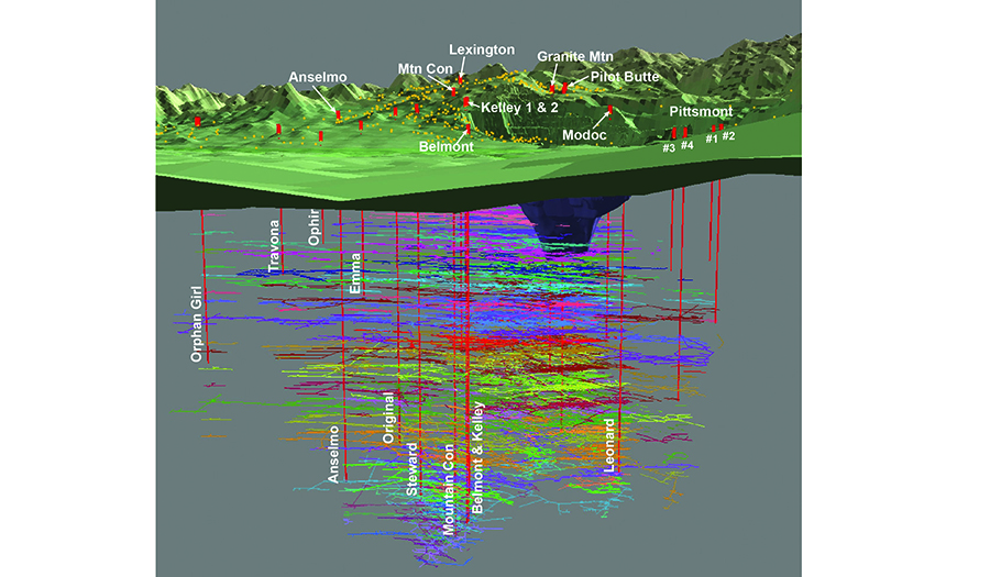
The current monitoring program consists of:
1. 12 abandoned underground mine shafts;
2. 63 dedicated monitoring wells;
3. 5 surface-water monitoring stations; and
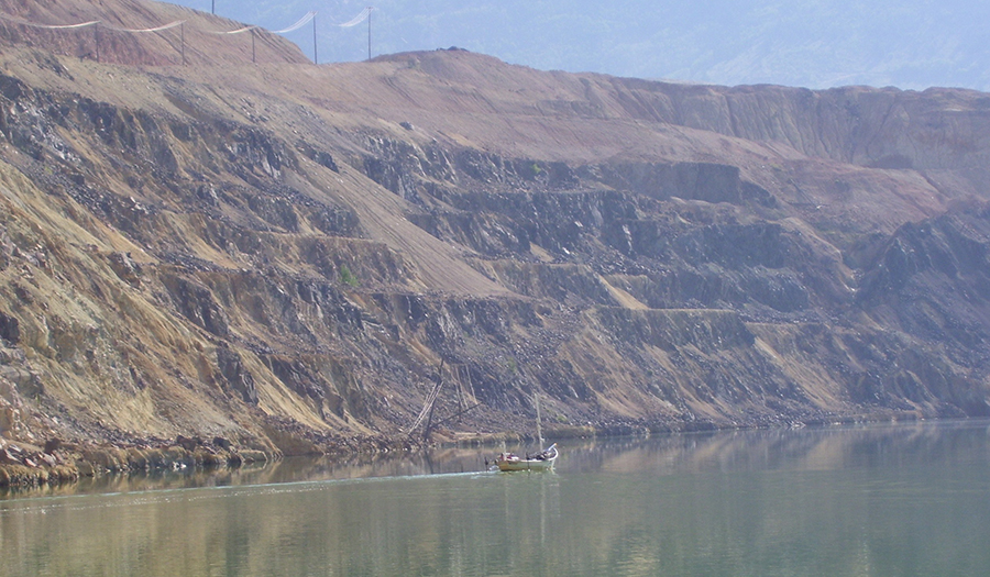
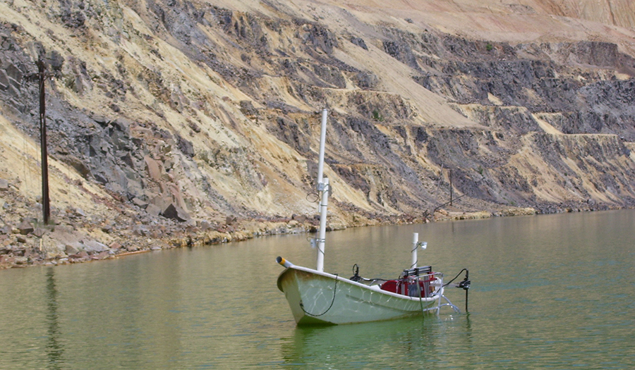
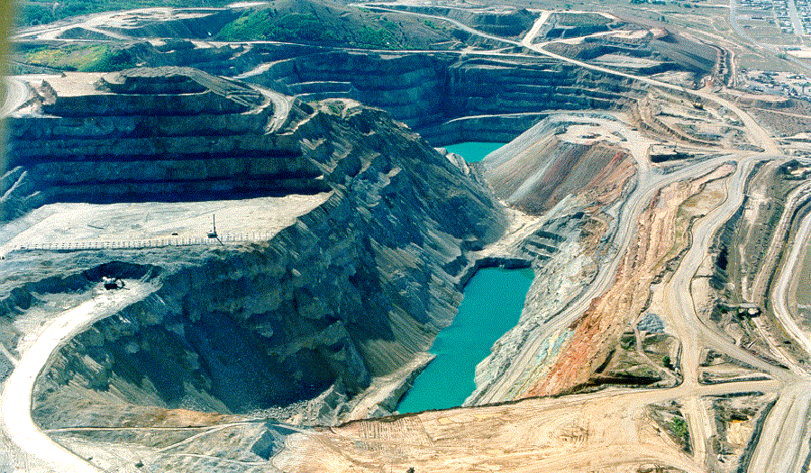
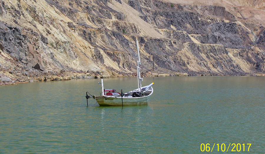
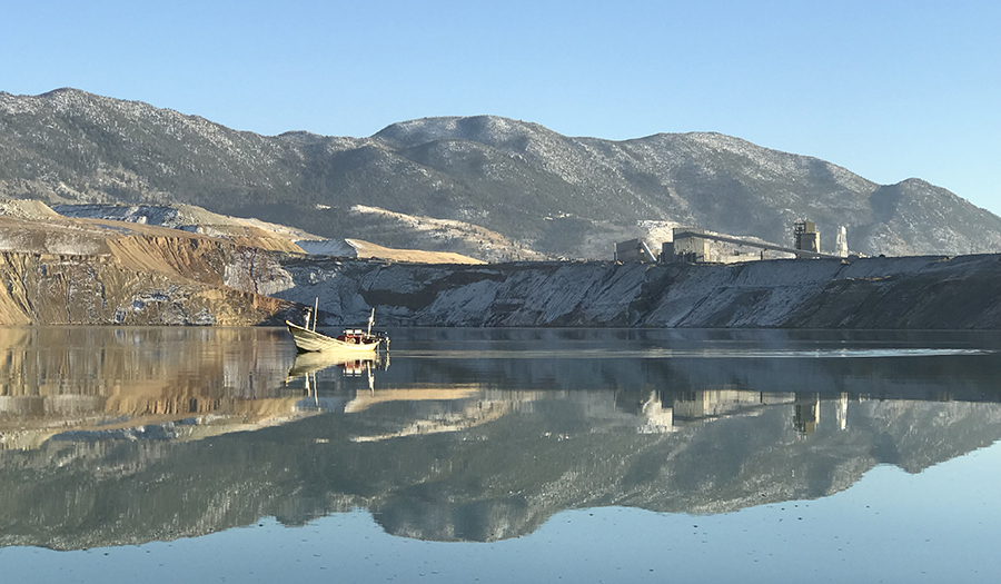
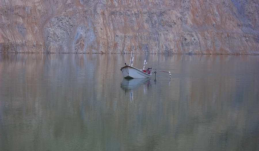
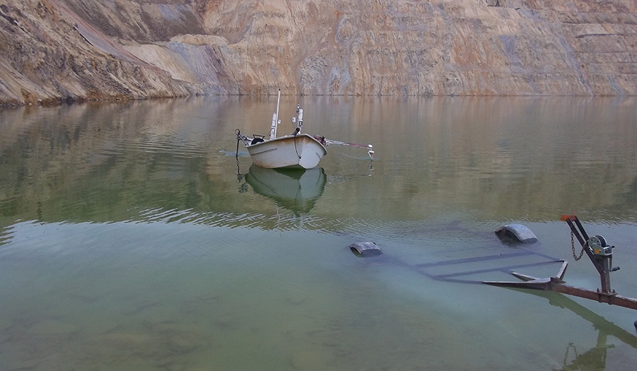
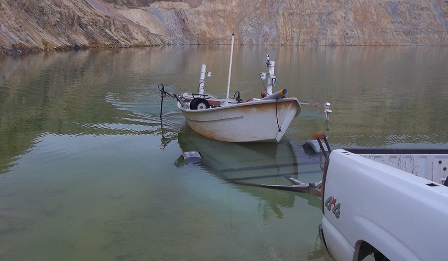
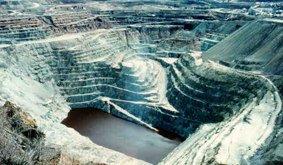
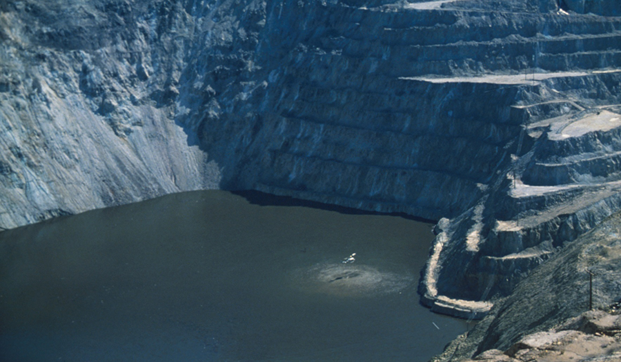
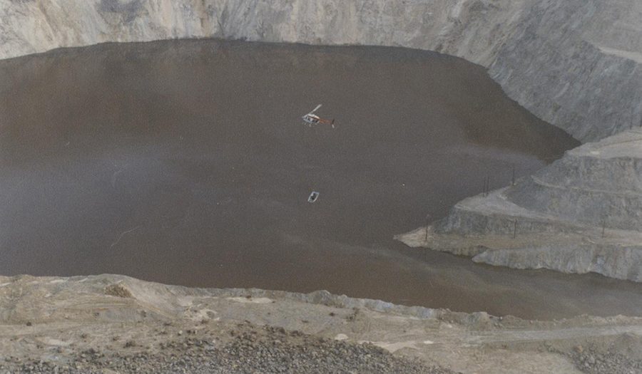
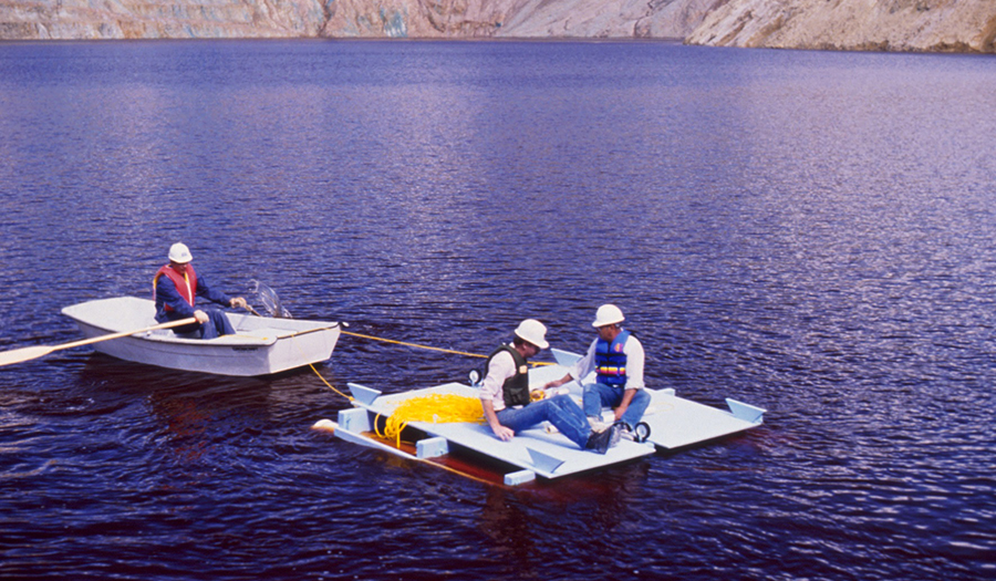
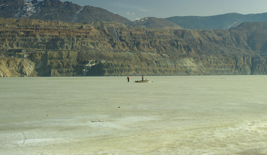
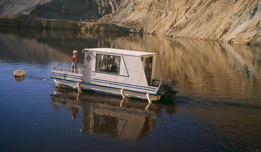
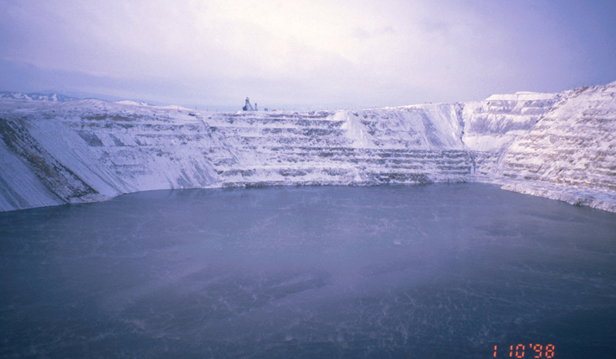
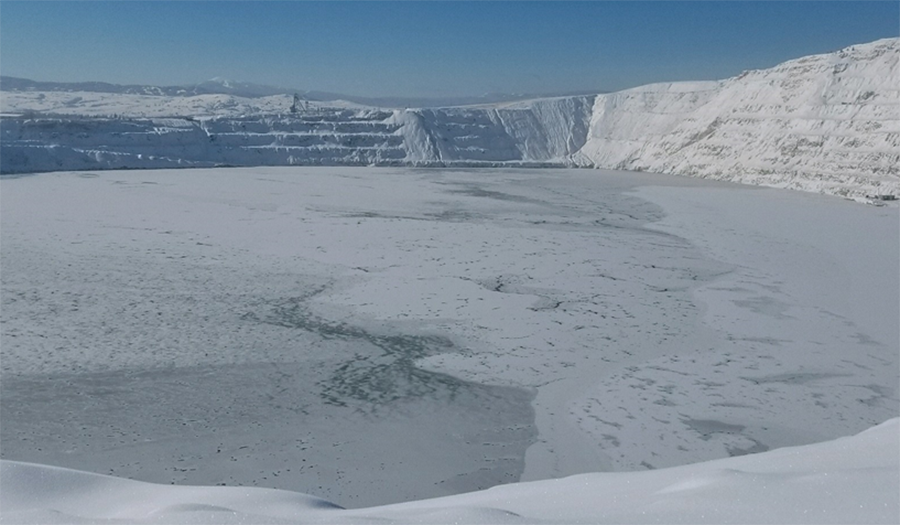
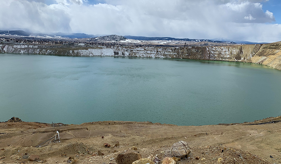
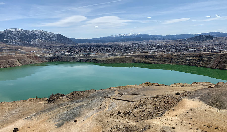
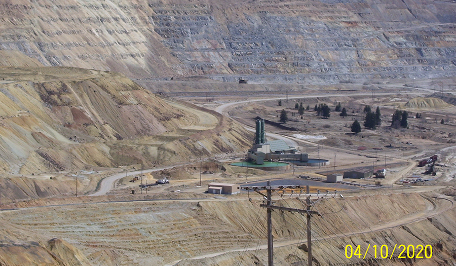
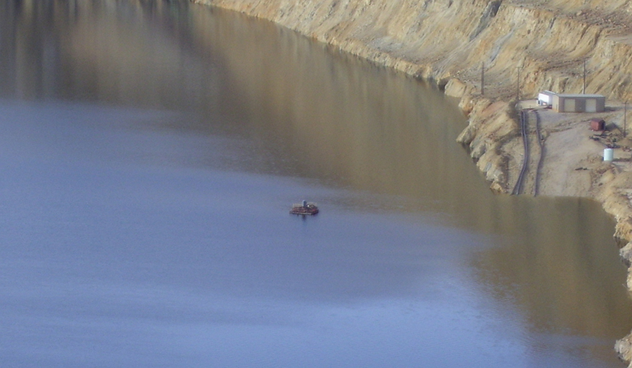
4. the Berkeley Pit.
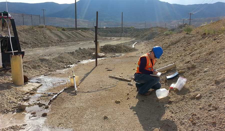
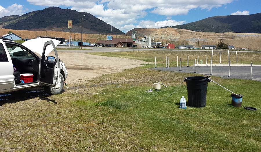
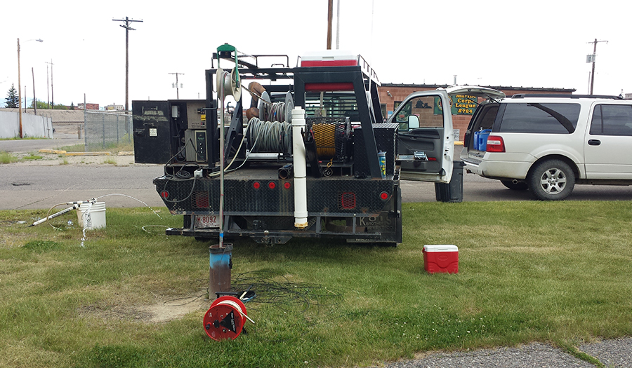
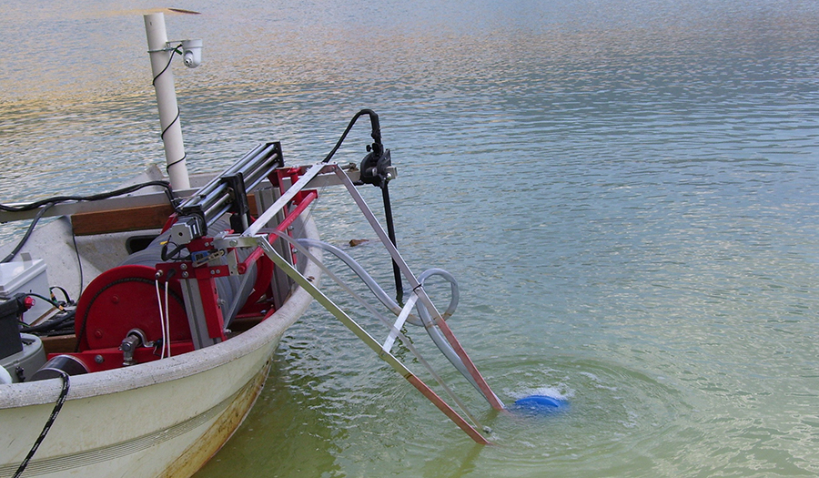
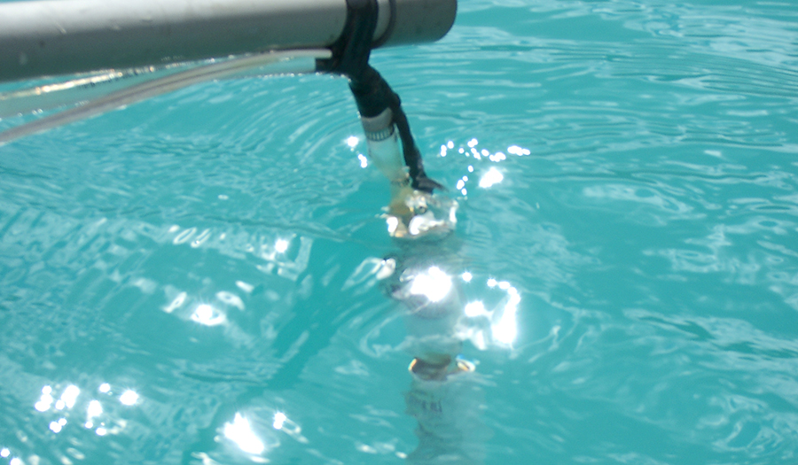
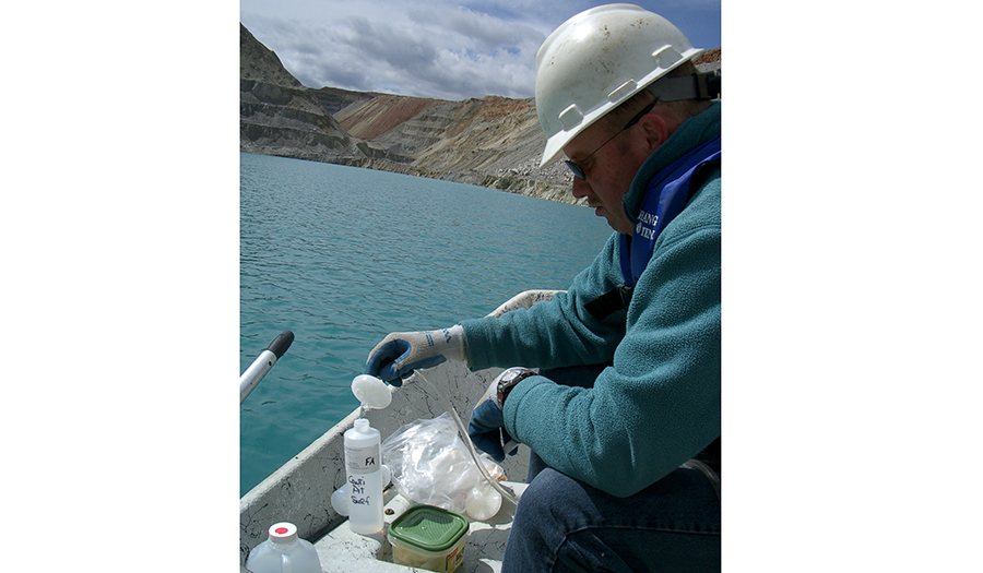
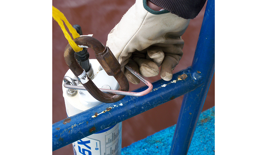
Sites are monitored monthly for water-level changes, and water-quality samples are collected semi-annually from selected locations.
Annual reports are available from the MBMG publications office at the following location: https://mbmg.mtech.edu/mbmgcat/catmain.asp
Below are some of the more recent and popular publications related to this project.
